Flinders Island 2022
Officially this was going to
be from 20th February to 5th March, but starting a few days earlier
if the weather looked good.
https://www.laurie-ford-kayak.net/Banks%20Strait%202018.html
https://www.laurie-ford-kayak.net/Swan%20Song.html
But
another attempt was made in 2021 https://www.laurie-ford-kayak.net/Fizzer.html
But
unfortunately when I sent the link to this report out to people I very jokingly
said “Anyone for next year”. This was meant as an absolute joke but within 24
hours I got this from Tug “Count me in for next year Mr Ford”.
And not long after that David said he’d be a starter as well.
Bugger
– this was a joke. I paddled around Fiji in 1964 with Tug when she was 21 but I
didn’t think she had done a lot of serious paddling trips since then because of
her job and thought well maybe I could keep paddling for
another year and make a serious attempt to get her out to Flinders Island –
this is the greatest trip in good weather.
https://www.laurie-ford-kayak.net/Flinders%20Island%202014%20Sue.html
https://www.laurie-ford-kayak.net/Flinders%202017%20-%20Mac%27s%20trip.html
The
dates for the trip had been set 12 months ago, mainly for the tides. I had
every intention of paddling across to Swan Island the first day and then set
off across Banks Strait the next day. As we got closer to the date it appeared
that Friday 18th would be OK to go across to Swan late in the
afternoon and then Saturday 19th was forecasting SE winds to help us
across the strait.
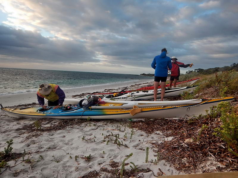
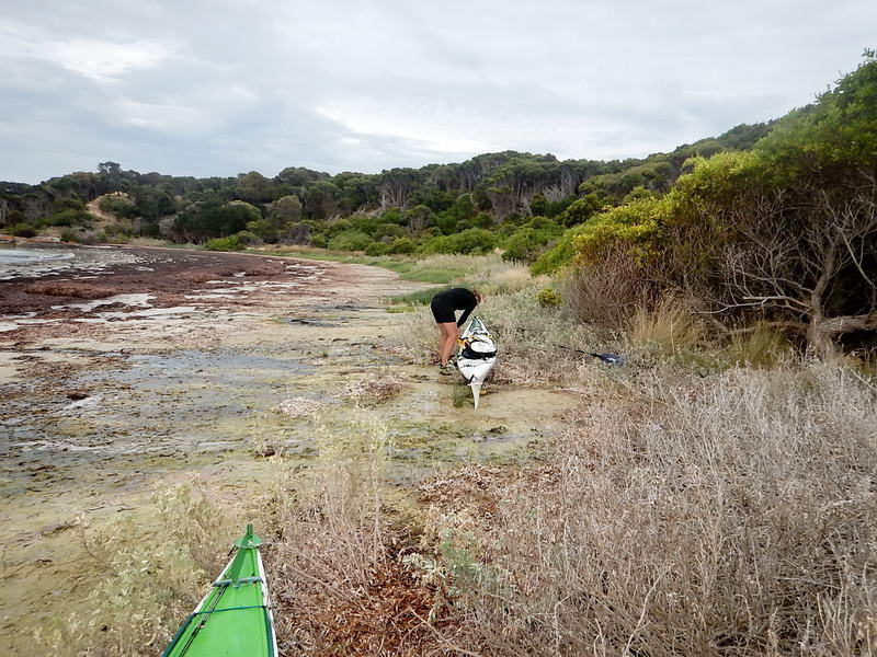
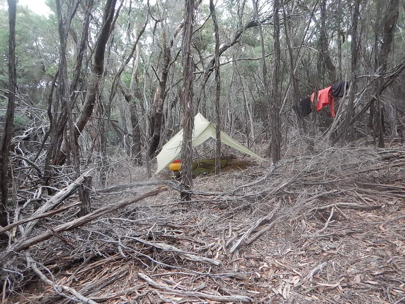
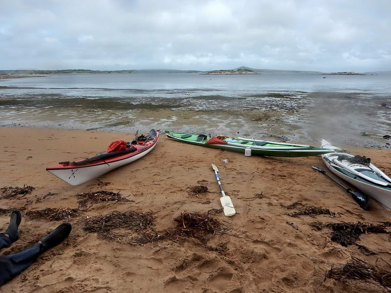
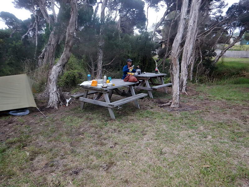
We arrived at Little Musselroe Bay in the middle of the day and there was a strong westerly blowing that even I wouldn’t have attempted to go across to Swan in – so we decided to wait till 4pm and check again and then 5pm. The wind was supposed to be weakening and going round to the SE overnight. At 4 it was still too wild but there were a lot less whitecaps at 5pm, but still windy. We probably should have gone and counted on the wind decreasing – but we didn’t. Later at 6pm it was very possible but now getting a bit late in the day. So we camped in our usual spot near the boat ramp.
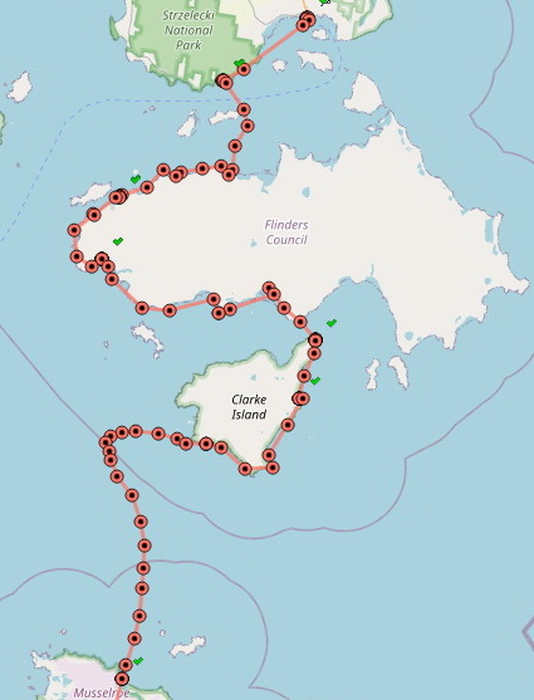
We
left Saturday morning at 5.45am (half an hour before low water) – paddling
magnetic north the whole time, the wind gradually shifting from SE round to the east,
and then NE and eventually northerly. A dead head wind. As is obvious from the
tracker the first day, the wind and tide took us a long way west of Clark Island
and we were making little headway as can be seen by the short distances between
the tracker marks where we finally gave up. We had just taken 2 hours to do
what a few hours earlier we were doing in half an hour. We were just tiring
ourselves out.
There
were two options – head south and use the wind and current to take us back to
Little Musselroe Bay. If we did that then everyone would have packed up and
gone home as the next week was not looking good for another attempt. I wasn’t
at all keen on that as this was third time lucky for Toby. The only other
option was to paddle side on to the northerly wind – paddling east. This would
be easier paddling but still against the last 2 hours of the west flowing
current. So in 2 hours we would have the current with us and the wind with us
(it gradually kept going round to the north-west). So we were way to the west
of Clark Island and now going to head east. Maybe 20 years ago I might have
said “well so what, we’re sea kayakers” but that was not the thought that went
through my head today. It was going to be a bloody long day.
But
let me show you the difference if we had started from Swan Island.
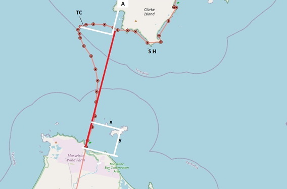
The red line is basically magnetic north from Little Musselroe
Bay.
The
white square down the bottom shows that Swan Island is x kms east of LMB and y
kms north of LMB.
If
we go to the point where we started to turn we would have been x kms further east and y kms further north – about where A is, with still 2 hours of current
taking us up along the coast of Clark Island towards Preservation Island.
TC = tide change. SH = South Head.
It
was a bloody long day and you can see where the tracker points start to get
further apart after we turned and when the tide turned. I was guilty of a
terrible crime – I absolutely failed to keep in sight of the group.
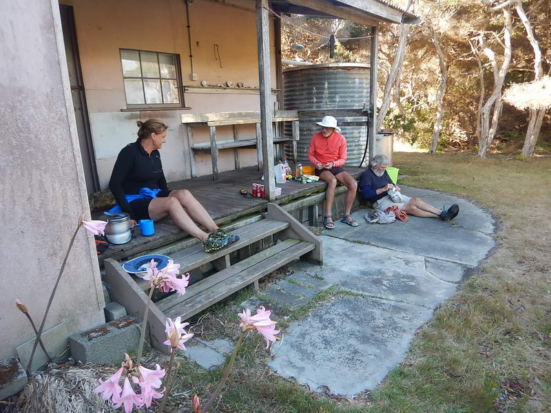
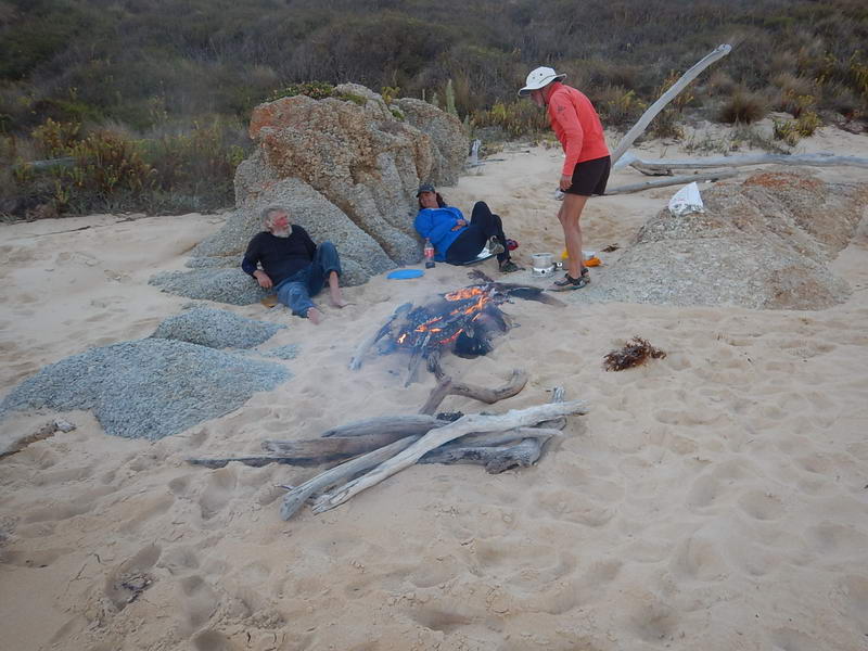
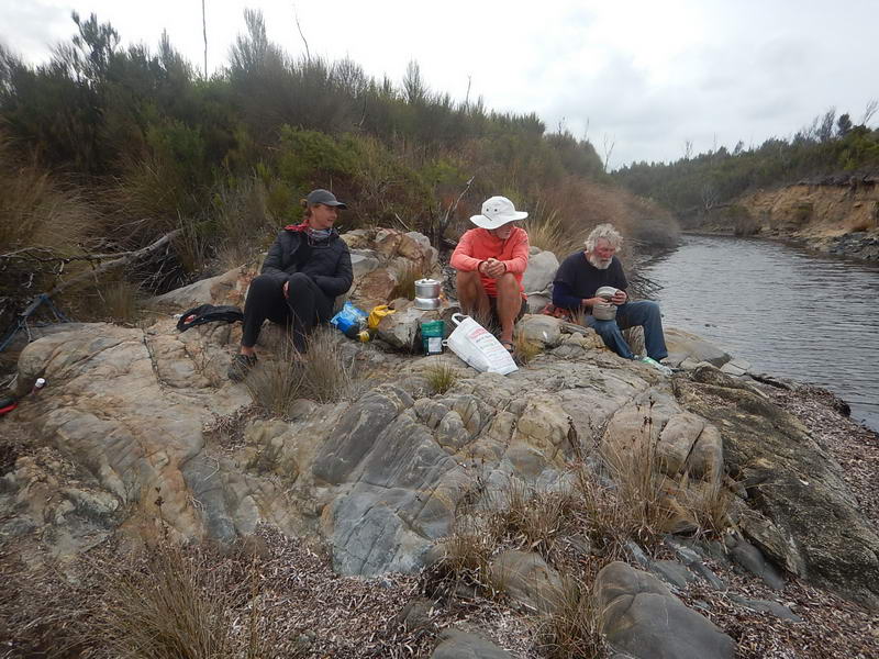
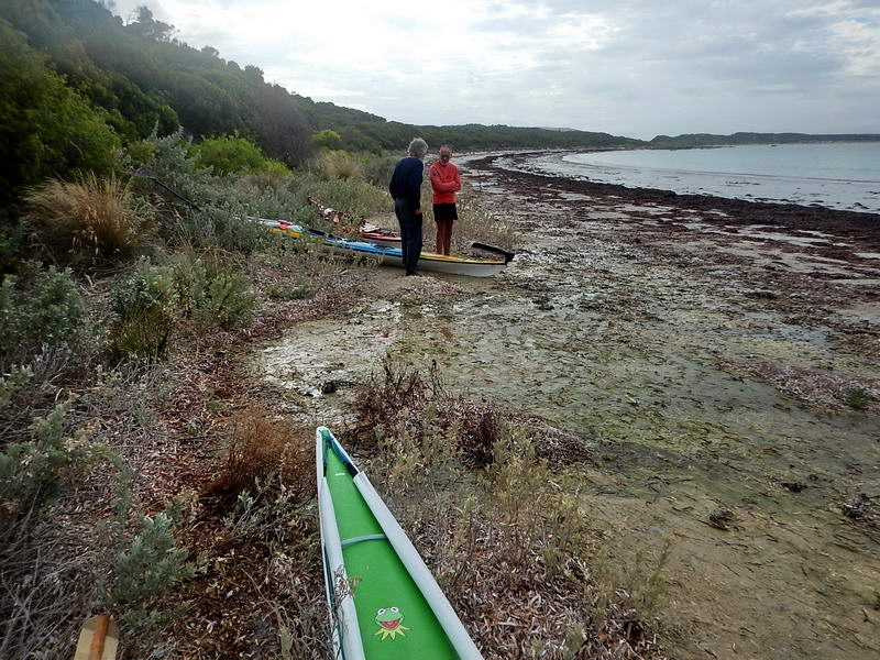
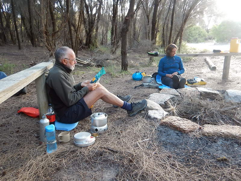
Let
me introduce the group. Ian Macdonald (Mac), Toby Clark and Sue
Shearman (The Girl), all previous members of the Maatsuyker Canoe Club.
Ian and
Toby had paddled across Bass Strait to Wilsons Prom in 1987 and a week
or so
later paddled back across to Tasmania. It was many years after this
before
paddling across Bass Strait started to become popular. Ian and Toby
have done
many trips out to Flinders Island, and also done the South Coast of
Tasmania
including Maatsuyker Island. Sue bought her first kayak from Penguin
Fibreglass
in 1998 and made a sail for it and also a paddle and then within a week
or so
had landed on Albatross Island – a relative novice. She went on to do
many
trips out to Flinders Island, and a trip down the West and South Coast
of
Tasmania – and also a Bass Strait crossing in 2016. These are some of
the most
competent and experienced sea kayakers in Australia and were not in any
danger
whether I was with them or not. But this is not an excuse for me to
leave them
– this was an appalling act on my part.
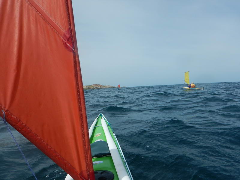
After
a while the wind and waves were directly behind us – the wind had eased a bit
and now that the wind was with the current the waves were gentler and I put up
a sail – at my age I need all the help I can get. We were heading for a large
dark headland and I pointed it out to Toby and said we needed to be close to
land when we got there. I heard him pass that on to The Girl. For quite a while
I let the sail do the work, without paddling. But the land still seemed to be
so far away and not getting any closer and I started paddling again – thinking the others would not be far
behind me. I can’t look back over my shoulder to see behind me as I once could
and needed to basically turn the whole kayak around to see behind me. I did not
do this. When I finally did get close to land I took the sail down and turned
around to see where the others were and was shocked not to be able to see
anyone. I had been sailing directly before the wind and waves so aimed back in
that direction for a while with the yellow sail up so I would be easier to see,
just holding my position. Three quarters of an hour later I thought that they
couldn’t have been that far behind and must have slipped past me somehow so
decided to continue east to look for them. Just round the next point there were
three dots heading into the eastern end of a very long beach and I followed
them in. I fell over in the waste deep water when I landed and took a while to
be able to get to my feet in the backwash. The Girl had to wade into the water
to help me stand up.
When
I had been sitting out off shore with my sail up I was concentrating on looking
straight out the way I had come, but they had closed the coast a little further
west of me and paddled along very close to the shore (they had not used sails
the whole time). They did see me out there but assumed I was just out there
playing around and having fun and also assumed I had now seen them. But I
hadn’t been watching that close to the shore and they did slip past behind me. From
the time we turned it was 3 hours to get ashore. We landed after 9 ¼ hours in
the kayaks, not actually quite sure where we were. The Girl did ask if we were
in Rebecca Bay but I was firmly convinced we had gone round South Head so said
no. But she was correct. Had I been able to climb up the steep slope to where
she erected her tent I would have recognised it. I would have recognised the
fence up there and been able to see Lookout Hill which I slept on one year
after carrying my sleeping bag and mat up there. Sue walked up there early the
next morning before most of the other 9 were up.
But my ankles preclude me from climbing up slopes like that these days. (So we were in Rebecca Bay but I didn’t even recognise it and neither did Toby and Mac, and we’ve all been in here in past years.) It wasn’t till I got home after the trip and studied the Tracker plots that I realised where we’d been. Oh dear! It didn’t actually make any difference to the trip and even if we’d realised where we were it still would have taken us 4 days to get to Thunder & Lightning Bay.
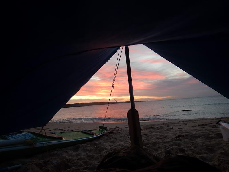
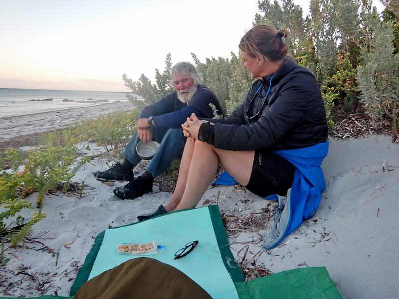
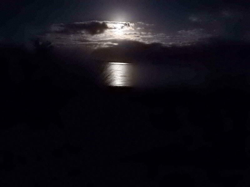
 This trip.
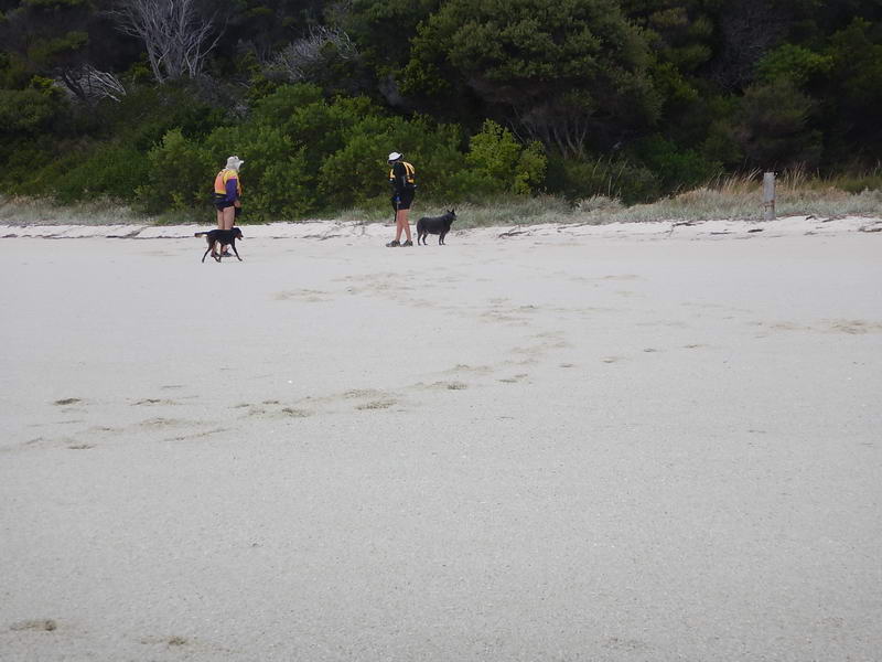
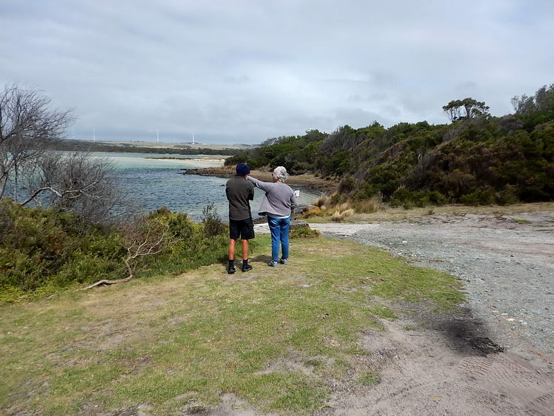
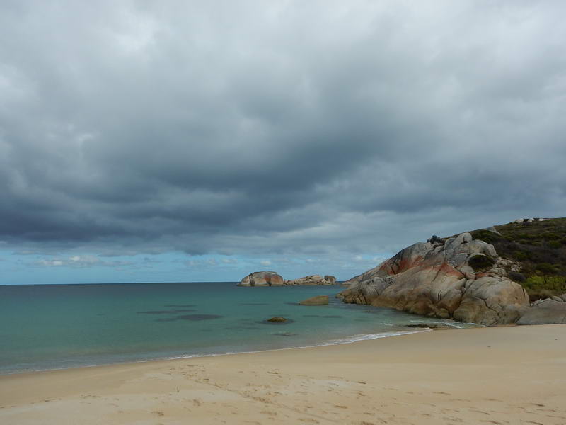 A photo from 2019 when I did a night paddle from LMB to Rebecca Bay.
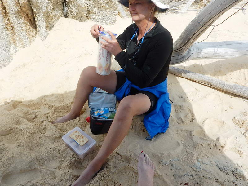
Feeling
a bit worn out I thought we’d have a rest day the next day but then found that
the others would need to find water within 2 or 3 days. The only water I
thought we could get to reasonably easily was a small stream in Battery Bay on
Cape Barren Island. There is water on Preservation Island and of course Thunder
& Lightning Bay – both back into the westerly wind. (I think it is
definitely time I gave up paddling – some people thought I should have years
ago).
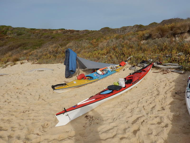
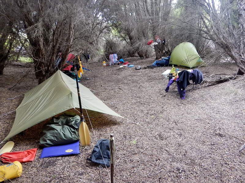
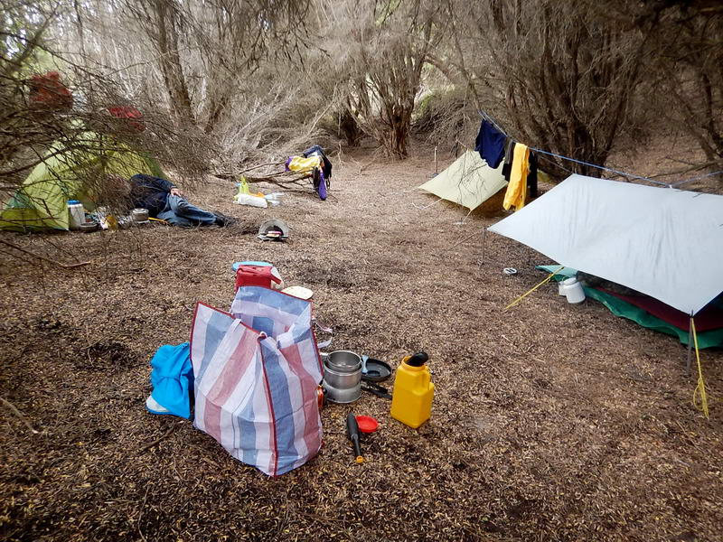
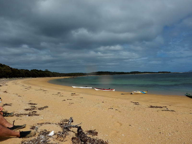
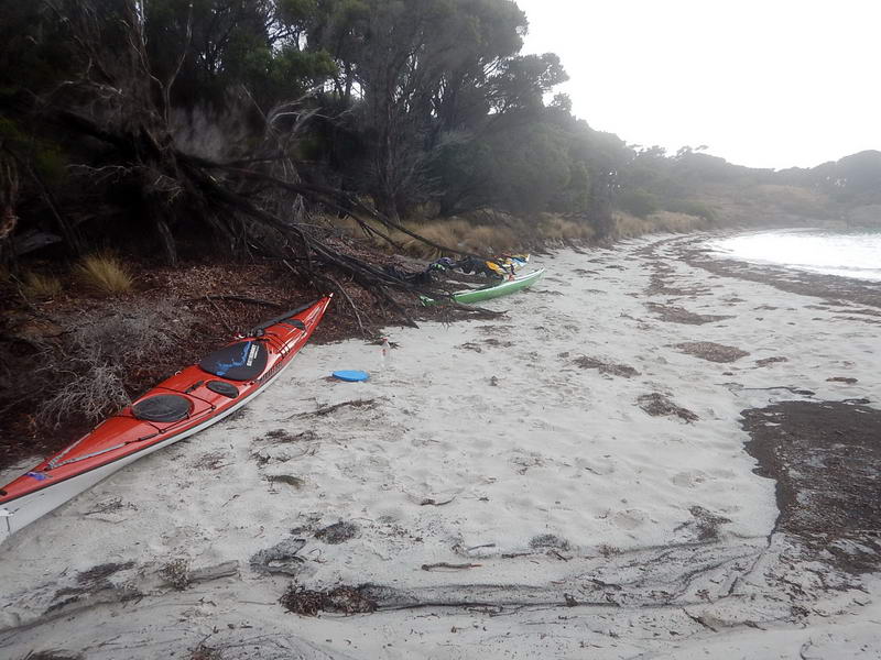
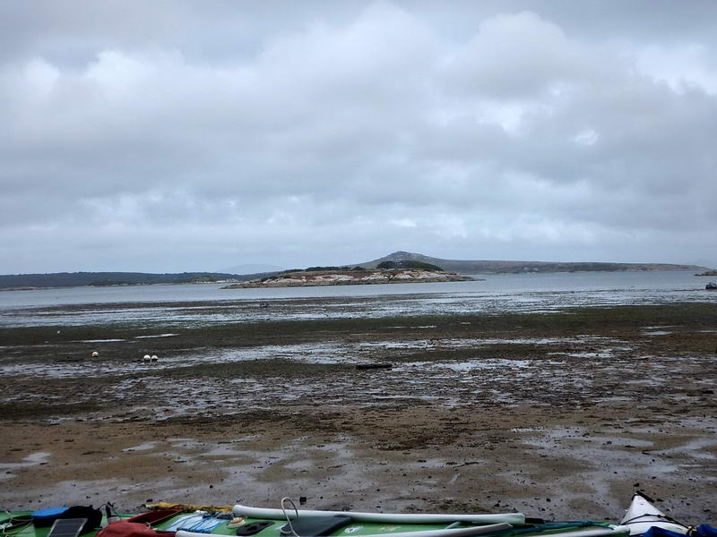
So in the middle of the next day (Sunday) we set off with the tide to go up the east side of Clarke Island to Black Point from where we could probably make Battery Bay the day after. It was an easy paddle but much longer than we anticipated as we all thought we had started from just round the corner from South Head. We didn’t have any idea of what it was like to camp at Black Point till we got there. We named it “the Never again” campsite, it was woeful. Mac and Toby found places in the sand dunes on one side of the creek bed and The Girl found a tent site in the dunes on the other side. I went up the creek bed a bit and found a soft spot on the tons of sea grass – just to one side of the creek bed itself which was very boggy. This was the only spot where there was shelter from the wind to cook in.
Monday was another day of fresh westerly winds up to Seal Point where we could see the huge waves and westerly wind screaming out of Armstrong Channel – a destroyer would have struggled against it, let alone kayaks. We camped in “the Never again number 2” campsite. Toby and The Girl found tent sites up on the dunes again while Mac and I just bivvied on the sand. We all retired early to escape the cool fresh wind. In the middle of the night I could see large breakers on the beach driven by a very strong easterly wind and got up to move all the kayaks further up the beach. The waves were already 30cms past the sterns.
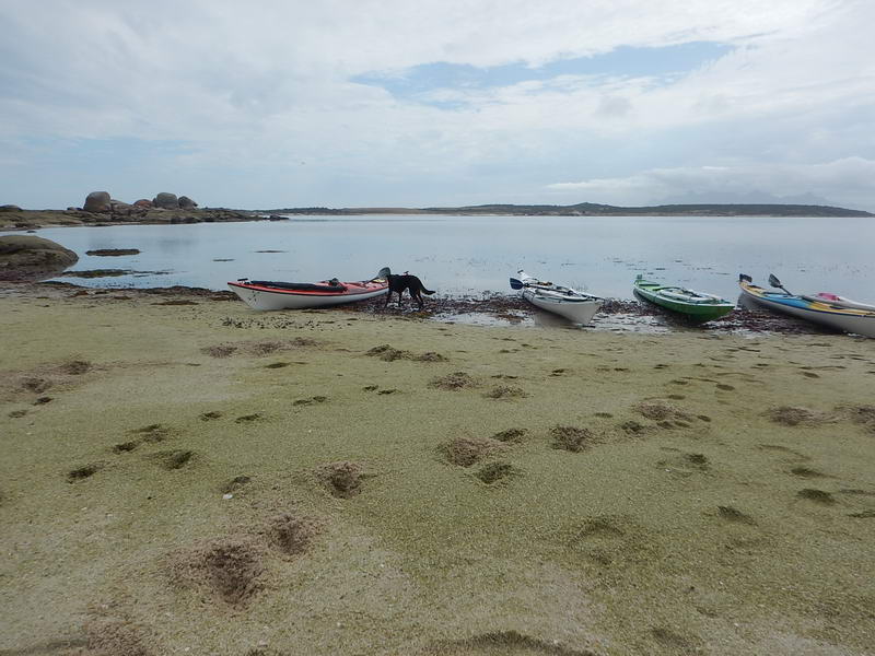
Then it was on and on again keeping close to the shore and ducking inside large boulders into sheltered areas before coming out again round the next point. Toby had a capsize through one of these gaps before Key Island but was quickly rescued by Mac. Then we were at Thunder & Lightning Bay where Toby located the really good campsite here, near where the fresh spring water bubbles out of the beach in many places. Most people emptied the Battery Bay water out and refilled with this water.
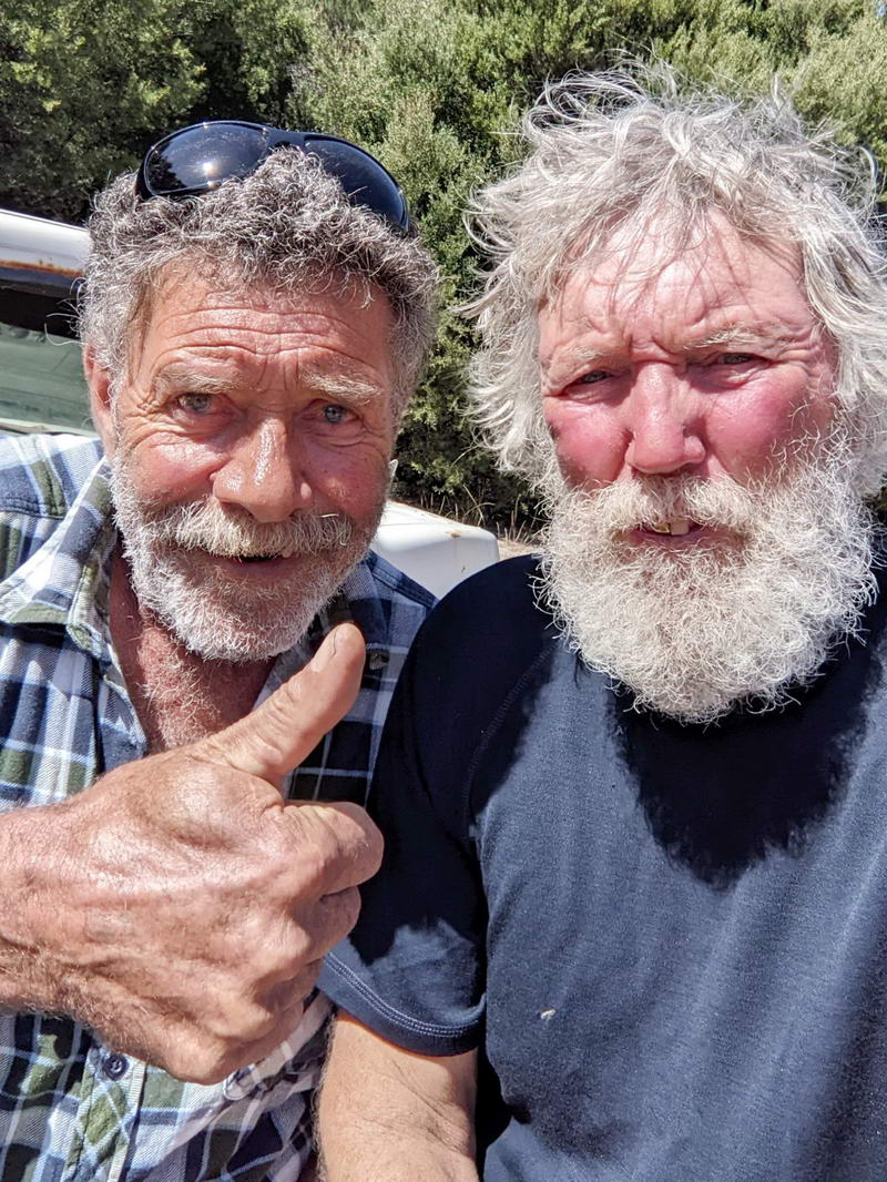
Lyall and Toby. Toby knew Lyall from when Lyall lived in Launceston. Lyall gave Toby a lift back from The Corner.
We had Tuesday and Wednesday nights at Thunder & Lightning Bay, the troops walking across to the small township called The Corner, with a shop. Actually they got lifts a good part of the way.
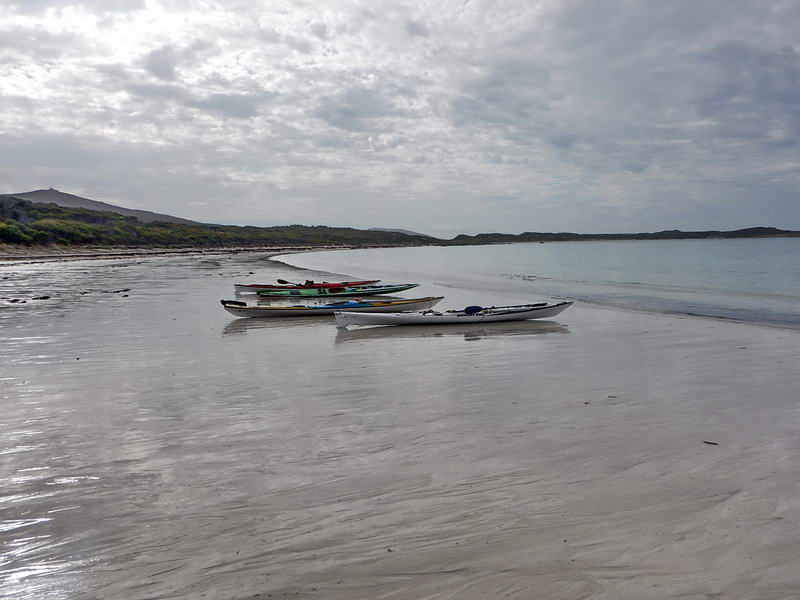
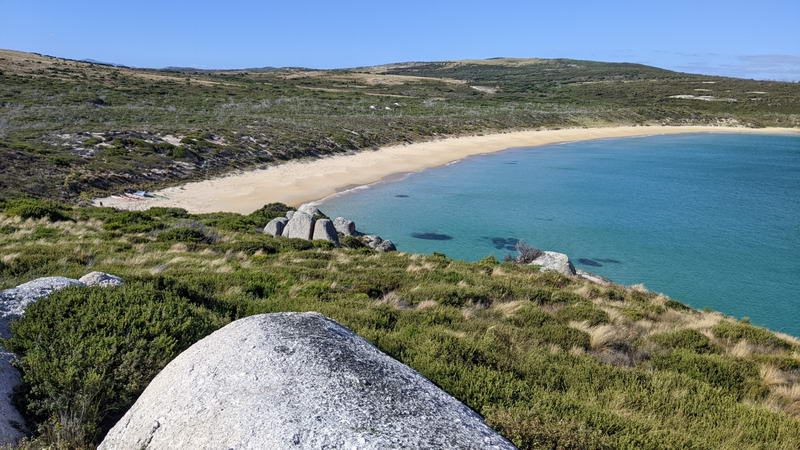
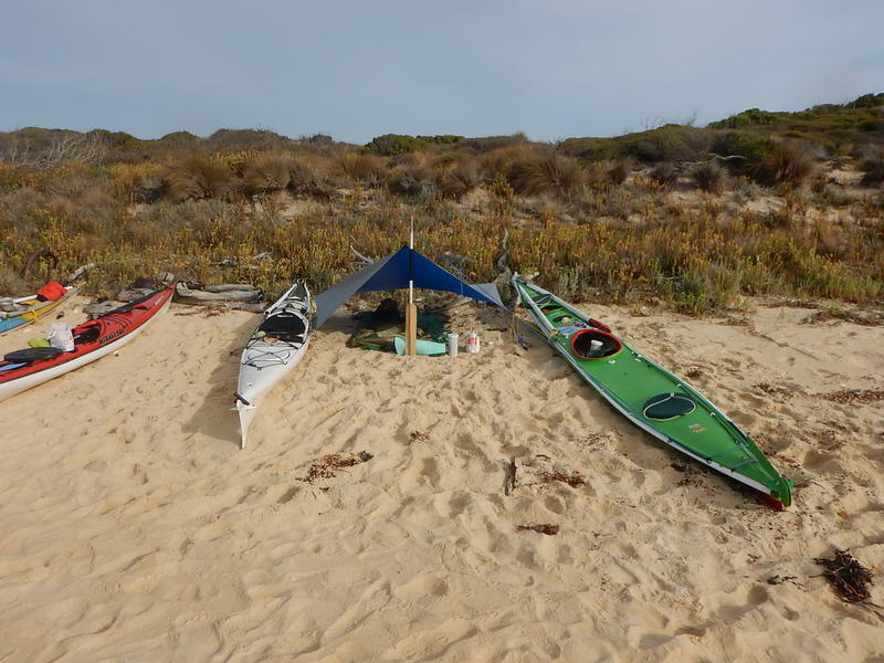
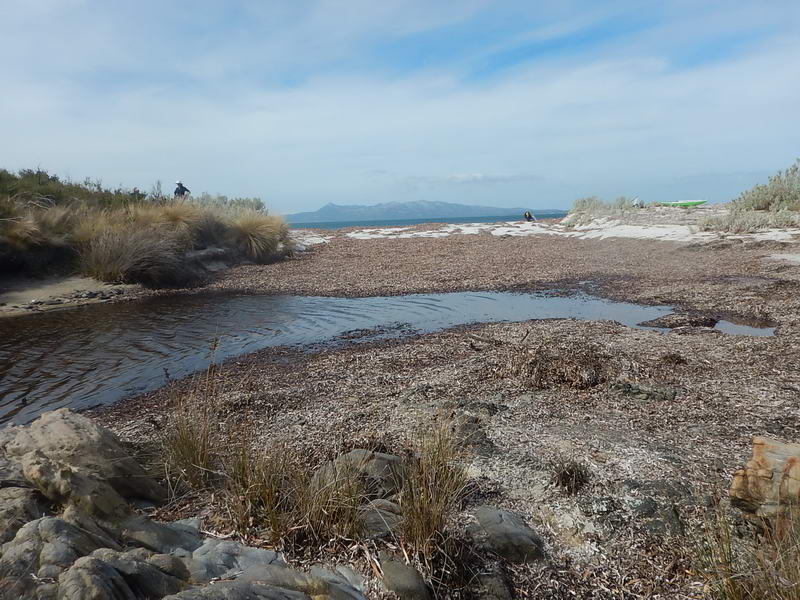
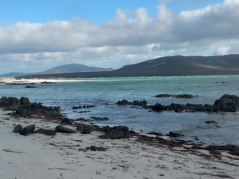
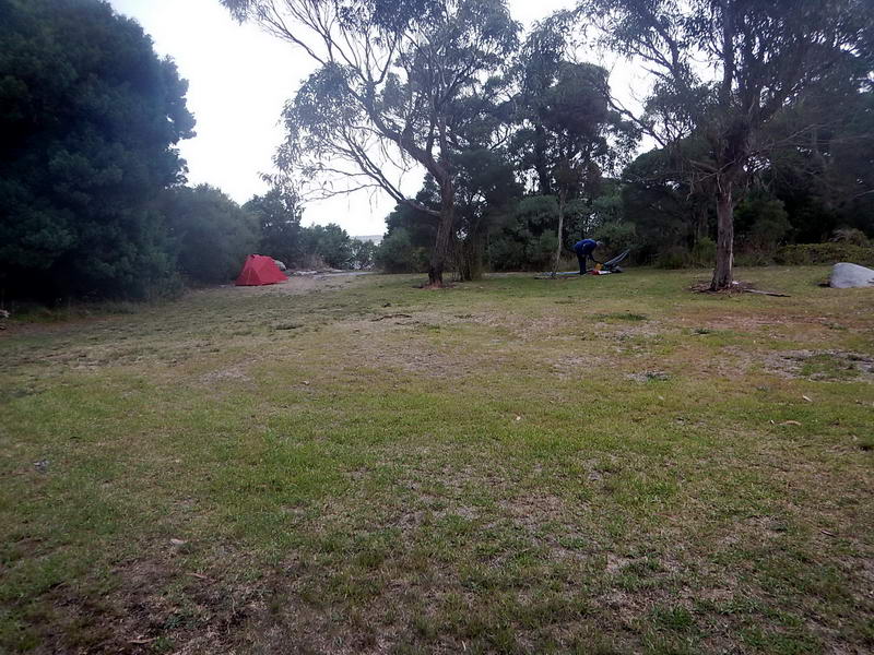
Thursday was actually the only fine calm day of the whole trip, and we cruised slowly (with the others slowing down to my speed) around to Long Beach where we talked to a retired school teacher before continuing on to “The End of The Road Campsite”, named on a previous trip with Arthur. A road comes down to a nice swimming beach and with plenty of sheltered areas for putting up tents or tent flys under the tea trees and she-oaks.
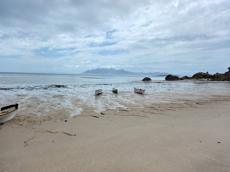
End of the Road campsite beach.
It
was here that I started to doubt the advisability of going across to Flinders
Island. We had taken extra days just to get to here and the forecasts for the
next week weren’t at all friendly for being able to get back round to Banks
Strait for the return crossing. It was the worst weather I have ever had on a
trip to Flinders Island. In past trips we could get round to Preservation
Island and wait for days there in a very comfortable shack for the perfect day
to cross. Plenty of water and comfortable living. This shack is no longer
available so the alternatives were to wait at Thunder & Lightning Bay where
there was water, or wait at Spike Bay (no water or supplies) or Rebecca Bay (no
water or supplies). Any lengthy stay at either of these would see us running
out of water. I have to say that I was very undecided what to do from here on
and eventually The Girl and Mac made the decision we should head to Lady Barron
and get the ferry back to Bridport. The Girl rang the company but nothing was
available for over a week – a long week sitting around in tents or under tent
flys.
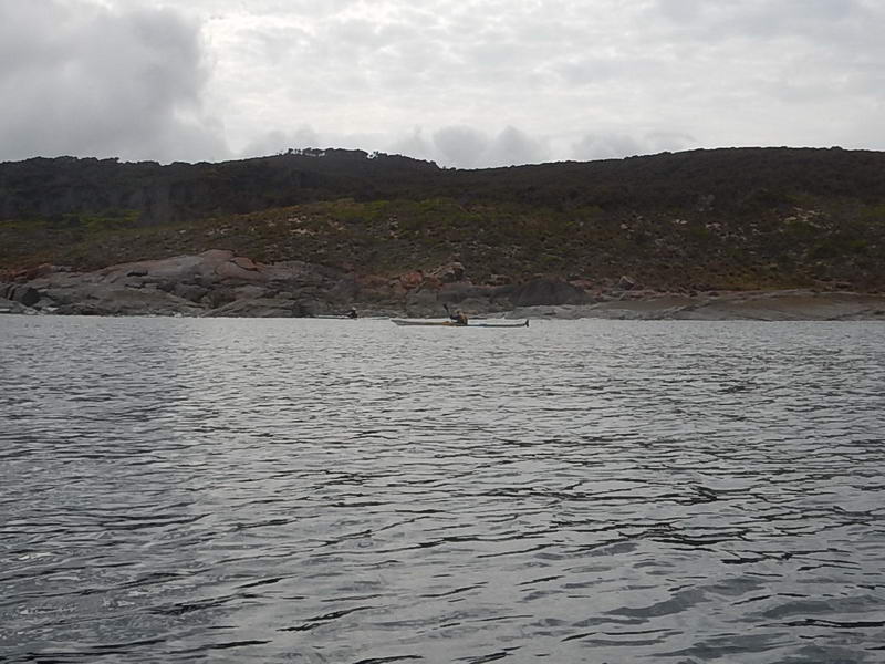
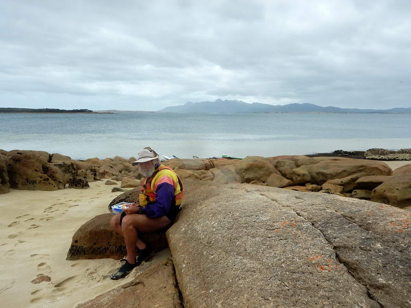
Because of the easterly easterly and more easterly forecasts I thought we should make our way closer to Lady Barron at every opportunity. On Friday evening the forecast on Meteye for Saturday was unfavourable but 12 hours later they changed that forecast to a much lighter wind, mainly SE all day. I chose to get going in this and hug the shore of Cape Barren Island to keep out of the wind and waves as much as possible till we could sail across to Flinders Island, hopefully not too far from Lady Barron. Again along here I was travelling slowly.
A rest stop past Neds Point.
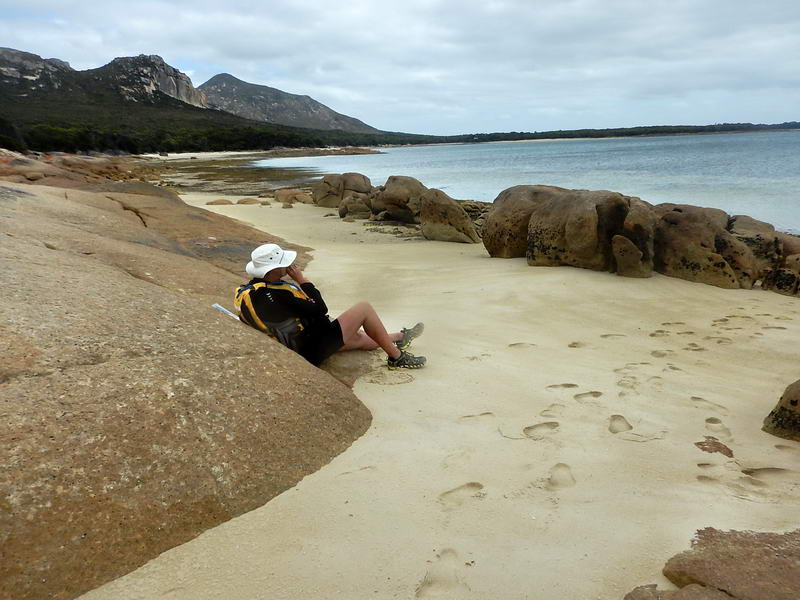
And another rest stop closer to Apple Orchard Point.
Then before Apple Orchard Point I figured we could sail and did so, with The Girl – till we ran aground miles off shore. We had to get out and walk a short distance towing our kayaks before being able to get back in and paddle. Mac and Toby found slightly deeper water and managed without getting out of their kayaks. The wind had gone a bit more easterly and the tide was changing and it was doubtful I would get to Little Dog Island, with the others back a bit. They cut through behind some rocky islets off the east end of Tin Kettle Island and I circled back to them. There were three beaches on Flinders Island inshore from here and we headed for the eastern most one. But the tide was quite strong and The Girl and I landed on the middle one and watched Toby and Mac being swept sideways before managing to land where we were. Camping wasn’t great but Mac and The Girl found a track up from the western end of the beach with flat areas a few hundred metres along it. Toby had found himself a spot the other end of the beach, We floated our kayaks along to the track and set up camp on it, with Mac just off to one side.
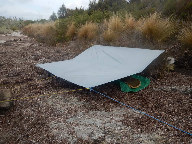
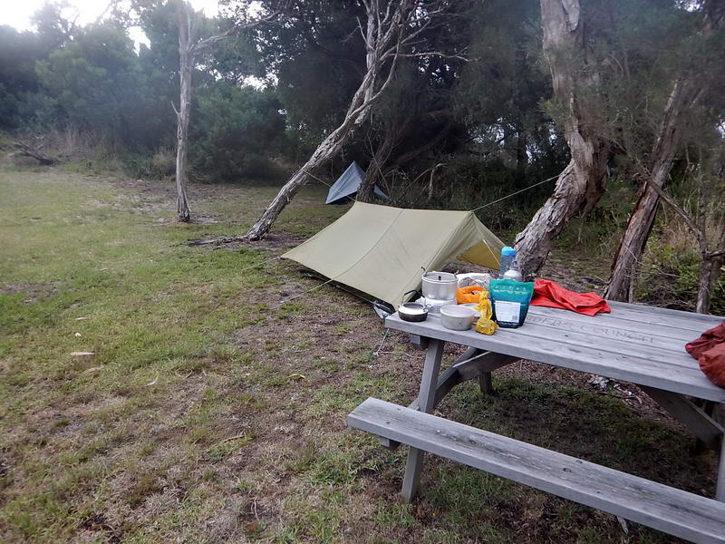
Mac's fly.
My fly
The Girl's tent.
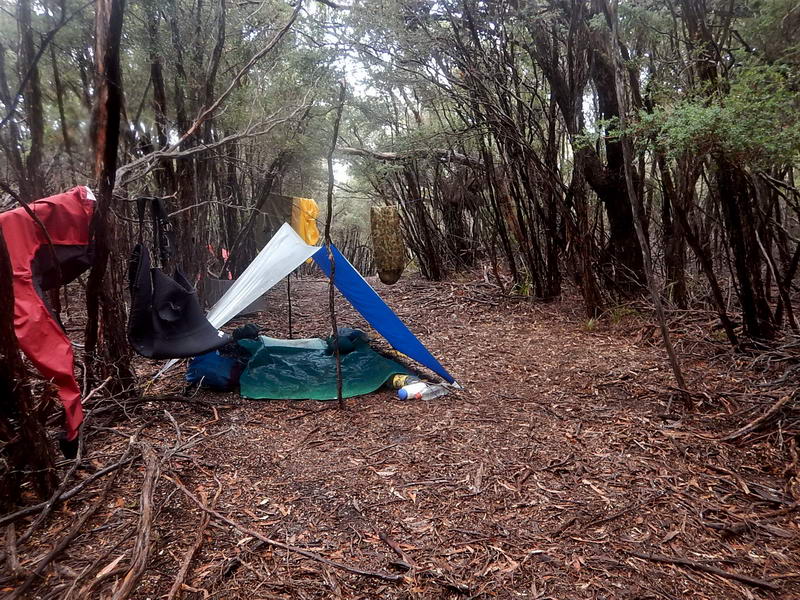
I moved my fly to the other side of the track to get out of the path of the water.
That
night there was a cloud burst and water poured down the track, straight under
my tent fly and on top of my ground sheet – most alarming and the foot of my
sleeping bag got quite wet. The next day I moved to the other side of the track
out of the path of any more water.
The
Girl and Mac chose to walk into Lady Barron – probably 10km each way and
brought back more coke from the shop. They did manage to get a lift part of the
way.
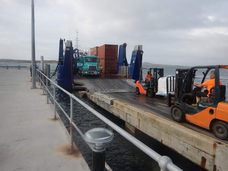
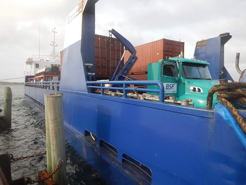
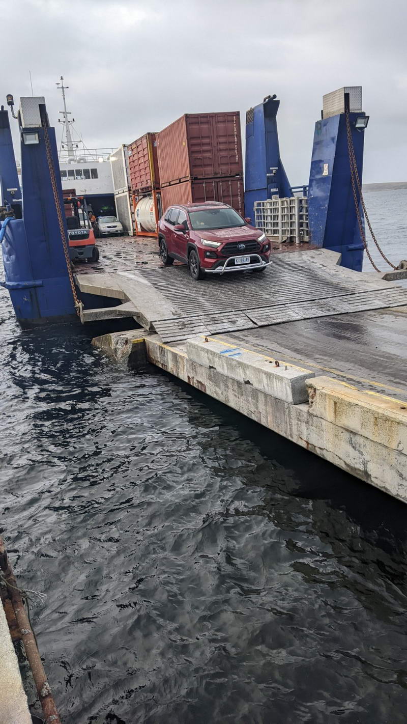
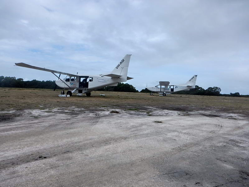
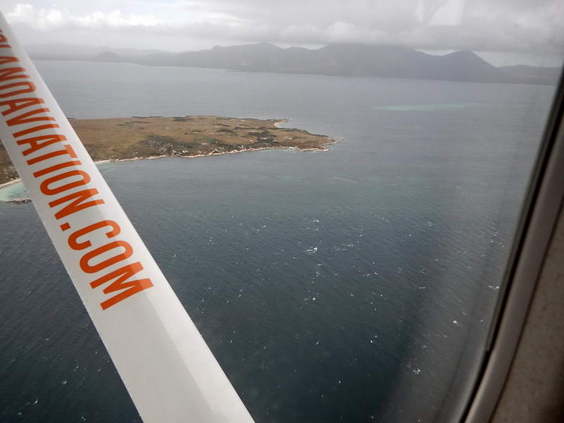
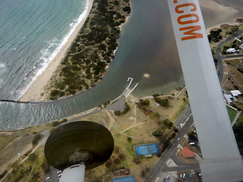
So after two nights here we decided that the distance now was so short we would get to Lady Barron no matter what and set off early Monday morning. On arriving The Girl rang the ferry company again and found there had been cancellations and they could now take the four kayaks and two people the next day. While deciding who to leave behind Toby came up with the plan for Mac and I to fly to Bridport where his wife would drive along from Launceston and pick us up and take us to Little Musselroe Bay to retrieve our cars. This solved all our problems. The staff on the wharf suggested it was best if we had our kayaks on the wharf early Tuesday. The friendly locals advised us there were free showers along the road in a park, and that 40 metres in the opposite direction was another park we could camp in – which we did. The Girl walked to the shop again and brought back two hot pies for me, as well as more coke.
Lady Barron
I got a puncture as I got back to Bridport, and then booked into our Chalet. Mac lived in Bridport back in the eighties and said the chalets were there then – so not exactly new now. But Oh so comfortable. Nessie and Mac arrived later after catching up with friends.
(Not actually right by the seaside)
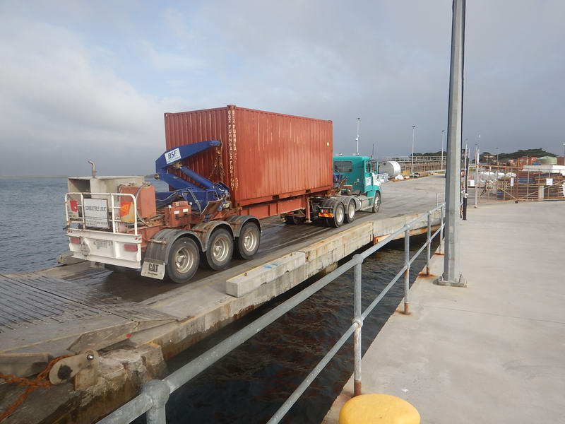
After
9pm we got a phone call saying the ferry was about to unload the kayaks so Mac
and I drove down and collected them, and The Girl and Toby.
And so ended my last trip to Flinders Island (probably).
Currents through Banks Strait.
Look at the tide tables for Devonport, and the height difference between low and high tide, say on the 18th January and the 1st February.
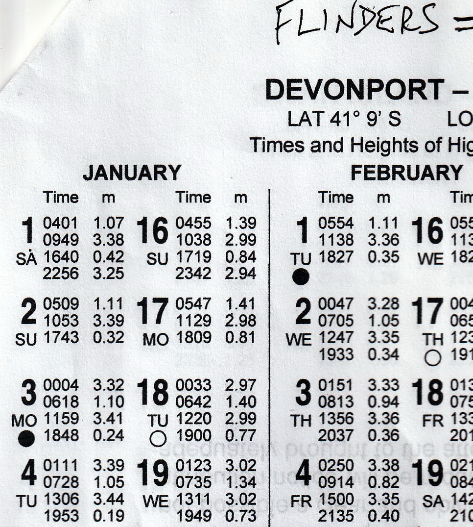
Low water on the 18th is 1.40 metres and high water is 2.99 metres. This is a difference of 1.6 metres.
If you are standing on the beach at Devonport at low water the tide is going to rise 1.6m in the next 6 hours. Therefore the whole of Bass Strait has to rise 1.6m.
All this water has to come through Banks Strait, Franklin Sound, and round the top of Flinders Island, causing a current through Banks Strait from east to west.The 1st February the difference between low and high water is 2.25 metres, and therefore there needs to be a lot more water coming through Banks Strait etc to fill Bass Strait. The current will be a lot stronger through Banks Strait than on the 18th January.
This was my comment on the report of my night paddle in 2019.
The difference between low and high tide at Devonport is 1.7 metres – that is relatively low for anywhere in Bass Strait. This means the currents through Banks Strait will be slow.