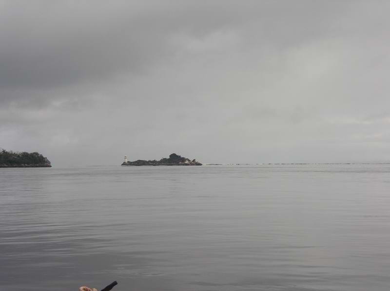
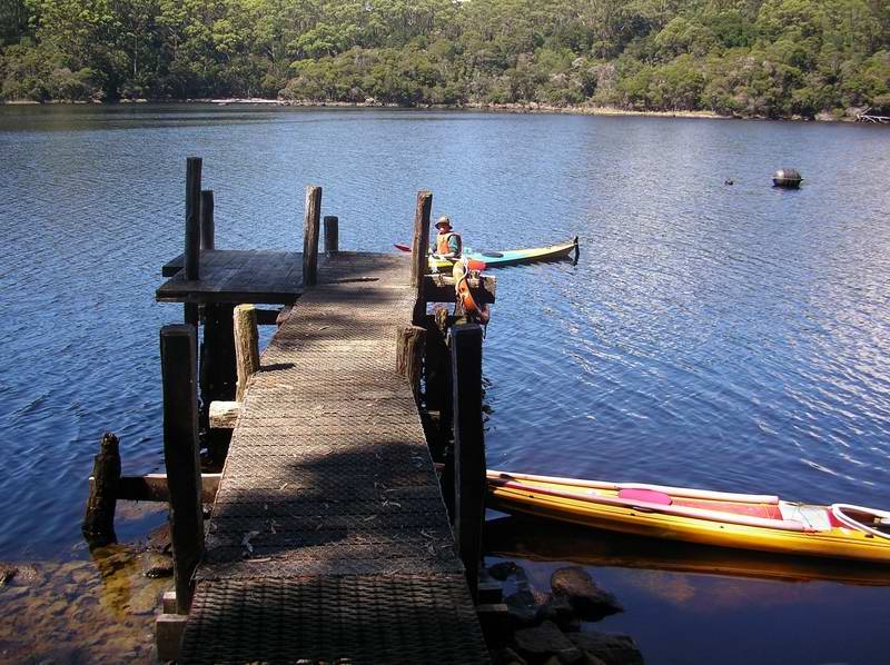
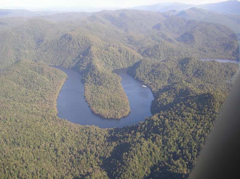
Entrance Island - only deep water is to left of island.
Scribe: Laurie Ford
Elli Tappan, Laurie Ford.
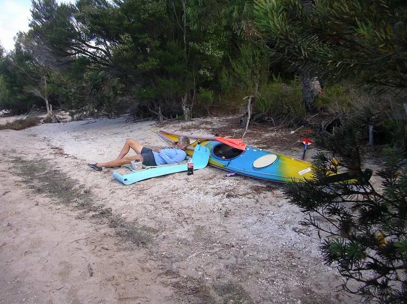
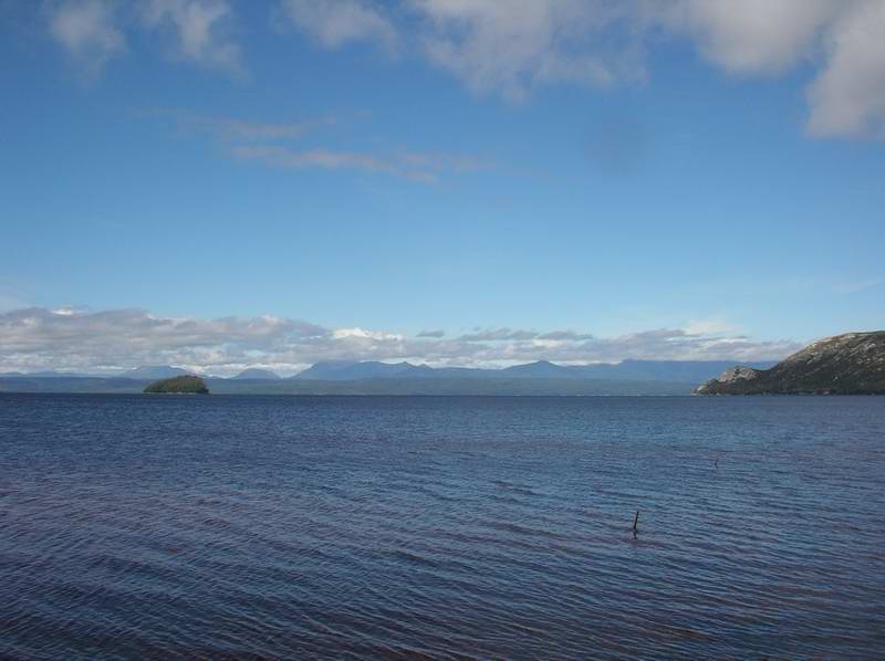
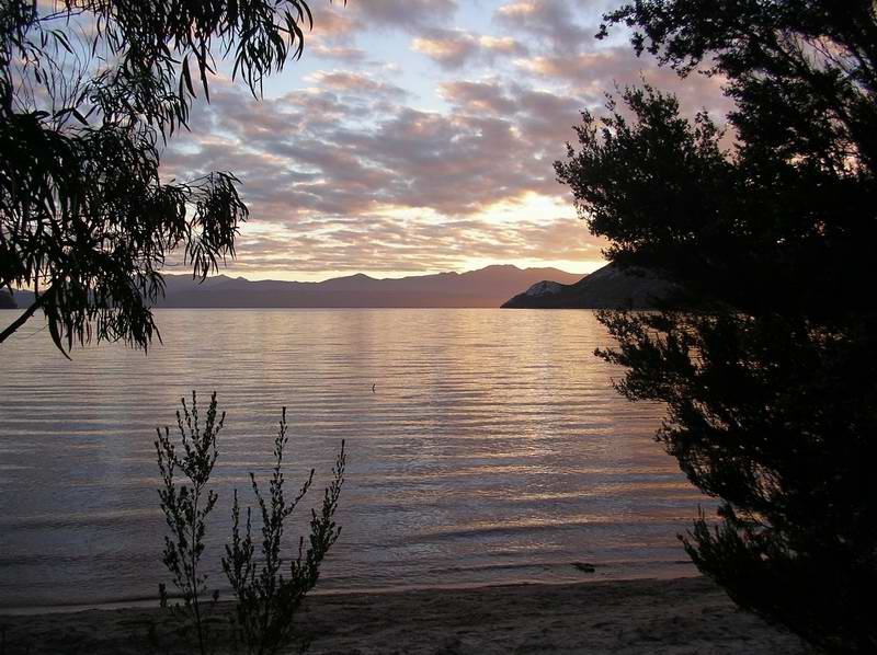
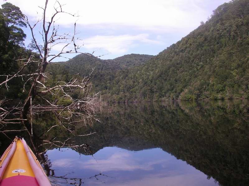
Yeah I know, not really sea kayaking - but a very worthwhile trip anyway. Macquarie Harbour is on the west coast of Tasmania, roughly 31 km long, and 8 km wide - fairly similar in size to Lake Winnipesaukee in Elli's home state of New Hampshire. Into this harbour flow many rivers, not the least the Gordon River, which was nearly damned many years ago till Federal Govt intervention saved it in 1984. The popular (rafting) Franklin River flows into the Gordon. It is often said that in this part of Tasmania there are 4 days a year when it doesn't actually rain - after all, this is in the great SW Wilderness rain forest area of Tasmania.
Wed, 22 Feb rain, then fine - 31km
On the water at 8:45 by the BBQ shelter shed at Strahan Beach. Clearing
weather. Paddled along the western shoreline, past islands, around
Yellow
Bluff, and towards the Training Wall to avoid the shallows in the bay
called
Frazer Flats. The Training Wall is built from granite boulders, and
directs
the current in and out of the harbour - maintaining a deep channel by
constant
scouring. It was built in 1900 by William Napier Bell - 3km long, 5m
deep,
and 5m broad at the base. Followed the wall with strong outgoing
current
as far as the dock at houses on the southern side just inside Entrance
Island.
Entrance Island - only deep water is to left of
island.
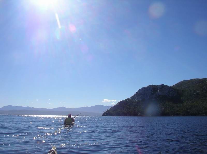
Current overpouring thru' spaces in wall. Returning hugged shoreline using back eddies, but I managed to hit a rock very hard. The water is inky black due to the tannin in the water, and without any swell to show ripples, the rocks are impossible to see till you hit them. Hit another rock going up through a gap in the wall to get out of the current.
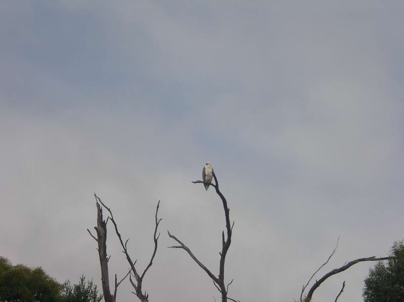
One of the many sea eagles we saw round the harbour.
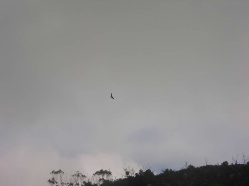
We saw three sea eagles up till now. Tour boats and float planes. Beached past fish farms (unused) to check my front bulkhead - the keel line was split and the front compartment half full of water. Tried drying the hull with toilet paper, using a sheet of corrugated iron to keep the rain off while I tried applying some duct tape. Not altogether succesful as it had half come off by the time we got round into Betsys Bay to camp for the night. Arrived here about 2.00pm - the day was now sunny and warm.
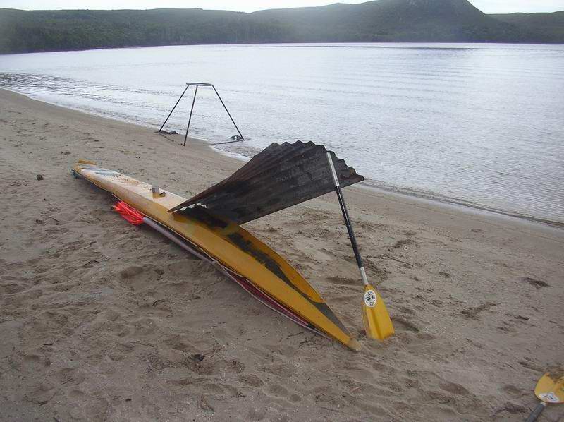
Trying to dry out the hull of the Sea Leopard to
apply duct tape.
Beautiful outlook, watching tour boats with telescope. Sleeping mats on beach to sit on. I emptied my trusty Sea Leopard of all gear and set it upside down with the stove going under the hatch opening to dry it out.
Drying out the inside before fibreglassing.
When it was suitably dry I glassed a couple of strips of chopped strand mat internally along the split. Later in the day after the sun had gone off the beach we walked up the track back into the sunlight again, and had a magnificent view of the harbour.
Views at Betsys Bay
Good flat campsite, sheltered, right next to beach.
Thurs, 23 Feb blue and 23 degrees - 22km
Morning start from Betsys Bay.
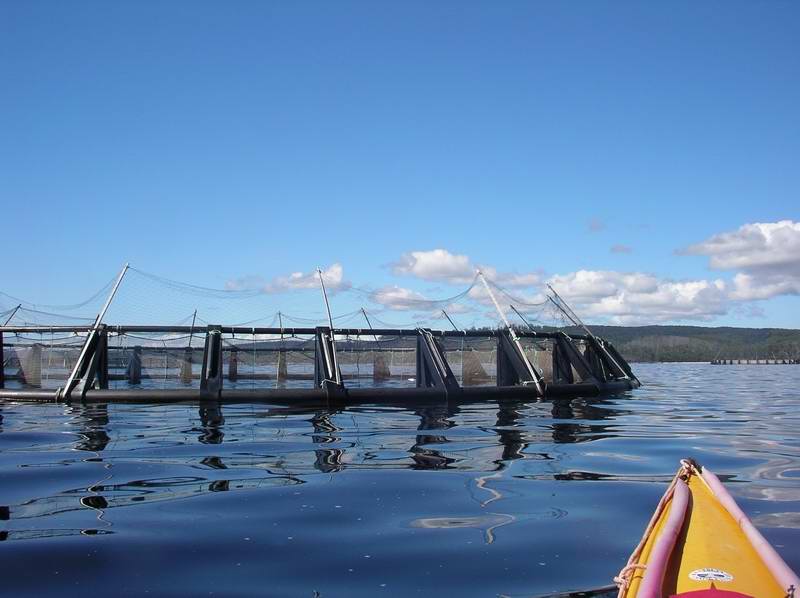
Betsys Bay to Steadmans Beach. Looked at active fish farms and a boat came to tell us to stay outside their area. Have their own boat to take fish to Devonport for processing. Extender nets up in the air to keep cormorants from snacking. The fish are fed four times a day ("worse than a baby”).
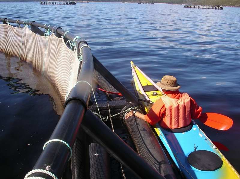
Fish Farms.
In next cove (east of Liberty Point) at a disintegrating dock talked with older couple from Burnie. She was reading while he worked on getting an old motorbike to start. He uses these tracks to go over to get crays at the ocean. She said lots of snakes. He was bitten and lay still in cold creek for two hours. Snakes most active when it is hot.
Then into Double Cove where there is a good dock and flat camping area way above it.
Jetty in Double Cove.
I hit another rock but not in same patched spot. (The resin was still tacky on my repair, and I had a plastic bag over it to stop my gear sticking to it). Steadmans Beach was nice, deep shade woods strip along it. Found a good spot for the tent just on the bank above the beach, and left my kayak in the hot sun to assist the fibreglass to go off properly. Elli kept hearing very far distant thrumming motor all night – maybe going crazy.
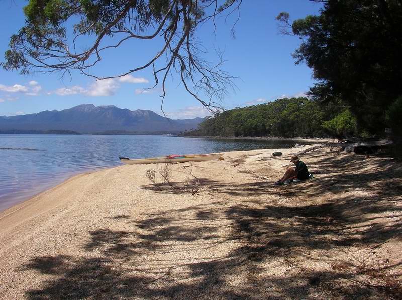
Steadmans Beach.
Fri, 24 Feb V blue and warm - 34 1/2km
Up early, off at 7:00 – want to get to Sarah Island before the tourists. But overnite boat Discovery there – motor running all night – Elli's noise!
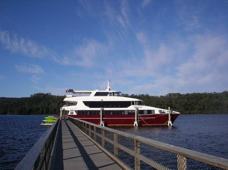
'Discovery' at Sarah Island.
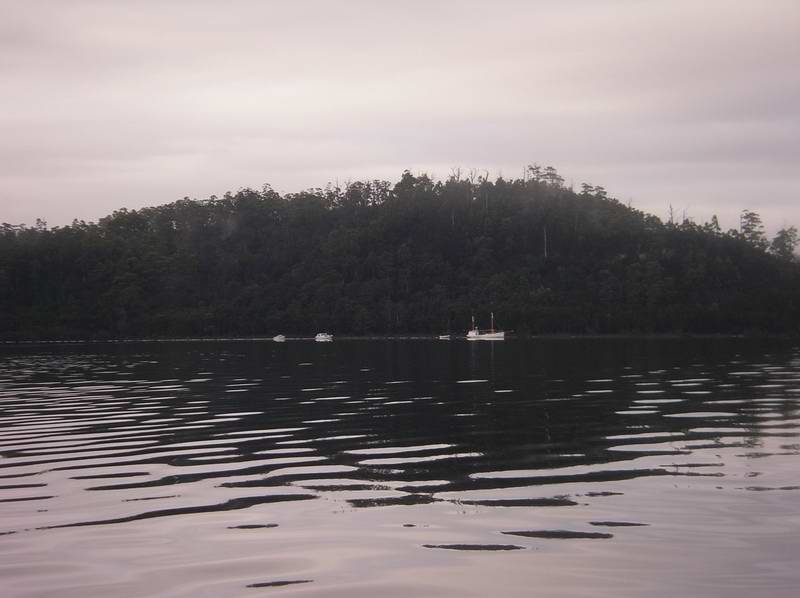
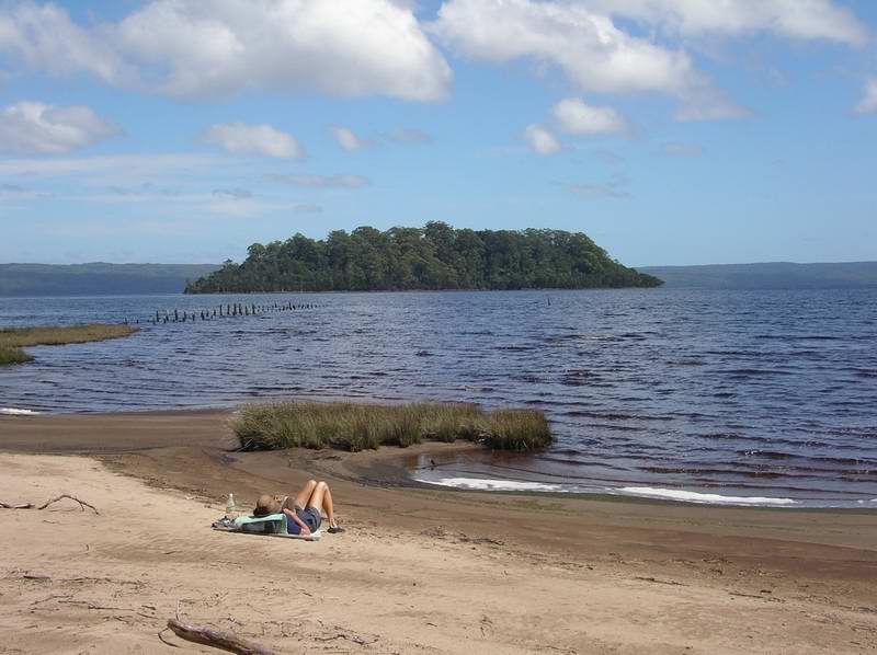
Landed in a small cove on the east side (probably made by convicts in shipbuilding operation). Sarah Island was a penal settlement from 1822 to 1833. Read signs, walked paths, a few people from boat with guide. Some out in zodiacs to see Grummet Island. Elli talked with Swiss crew woman from boat. They go to Queensland/Frazer Island in winter. Here they do 2 nights – one at Kelly’s Basin, 1 at Sarah Island. Kayaks and zodiacs are on a ramp on the back deck which can be lowered under water. The boat goes up the Gordon River, and also into Birch's Inlet to see orange belly parrots (they saw 8 the day before). Sleeps 24. At $1800/person it's a very high end of the tourist market!
Sarah Island.
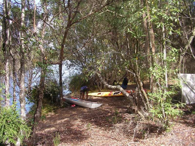
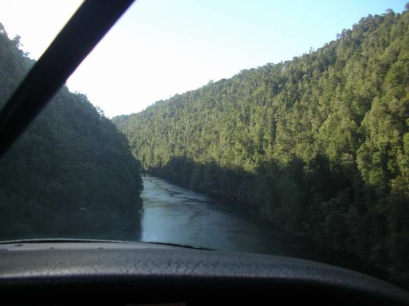
We paddled across to the mouth of the Gordon, and landed just inside for a morning tea break. Light east wind. Going up the river we crossed from side to side at sharp corners to avoid the slight current. I caught the sternwave of Wanderer, a day tour boat - it got to Heritage Landing and had left before we arrived there. Some sections of the river are steep sides with ferns, massed vegetation etc. Cooler air. Climbing heath with pink flowers and white leatherwood tree flowers. Rushes along the river edges. Elli and I got out onto Heritage dock to walk the loop and read about rain forest and huon pines. One fallen huon pine was 2000 years old.
Lower reaches of the Gordon River.
Another tour boat arrived – dozens of elderly tourists with girl guide repeating instructions. A few hundred metres above Heritage Landing we saw our first platypus (and in fact our only one of the whole trip). Camped at bend at Eagle Creek. Deep forest, ferns, guest book. (Dick Smith 1/22/05.)
The UP cord on my rudder had come adrift. On arrival at Eagle Creek found my 100mm spanner rusted, so used butter to loosen that, then repaired rudder. Clouding up. Silence. Except for insects hum. Disturbed a snake when I went to wash the dishes at the tiny sandy beach. Roots, ferns, grasses, moss, trees, thick veg. Boobook owl at night.
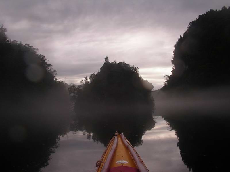
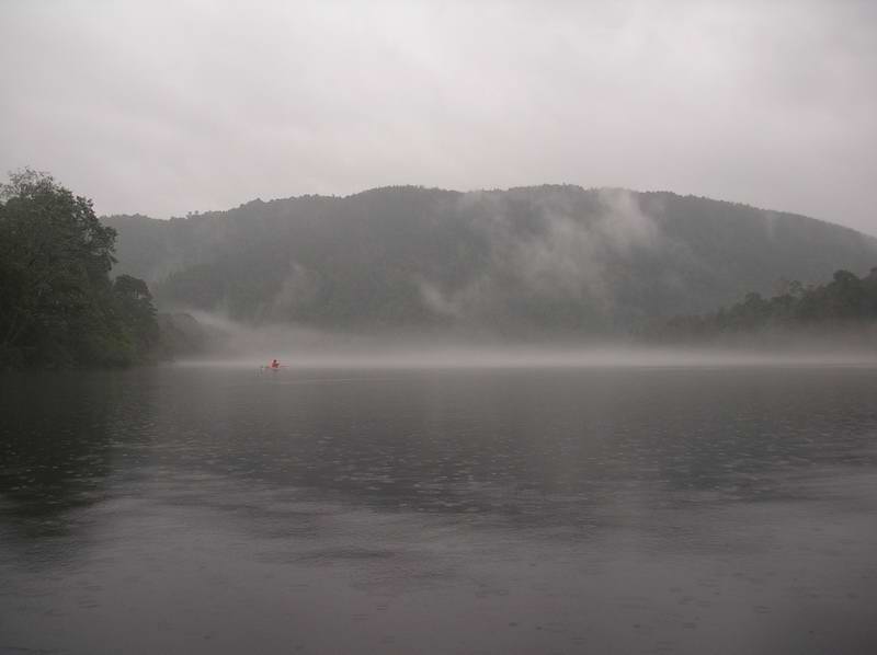
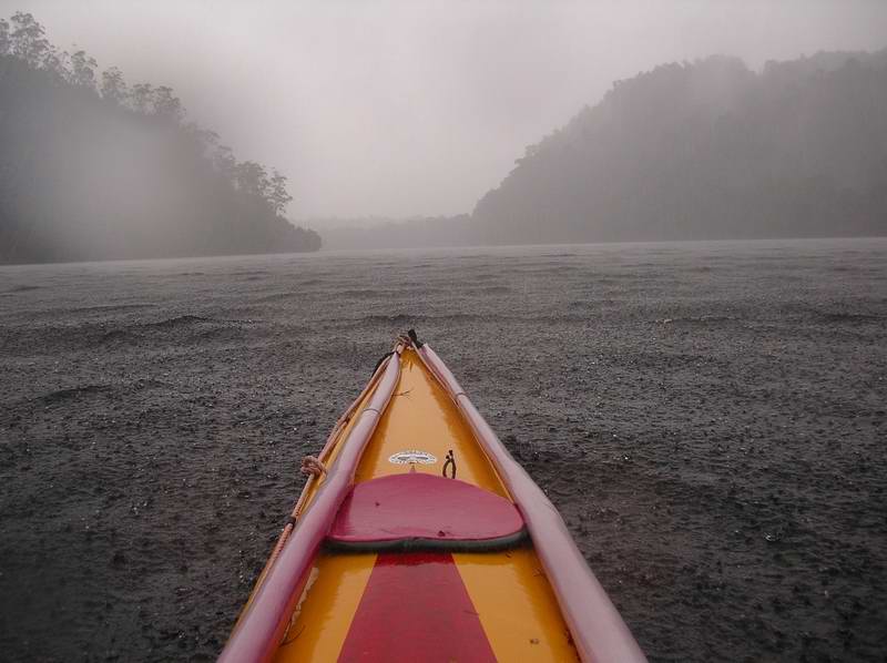
Sat, 25 Feb mist or rain - 36km
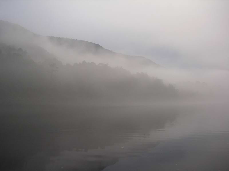
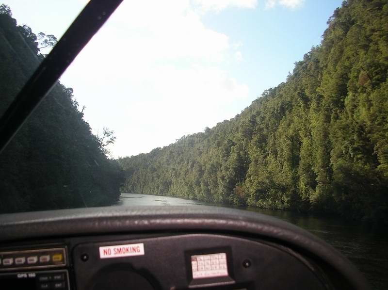
Morning mist on Limekiln Reach.
Afloat at 7:00, clearing mist on river, rising out of hills. We paddled very close to the bank, dodging fallen trees. Ducks, cormorants, penguin (? or platypus). I noticed a flood level gauge, and board walk to small lake with bird hides? and solar panel. It was still very misty and hard to see what this was all about but later on in the evening at the Piners Hut we were informed that it is a Meromictic Lake (Lake Fidler) - only a few in the world.
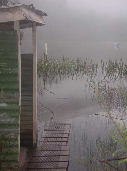
Lake Fidler.
We carried on up the river past Butler Island
Butler Island.
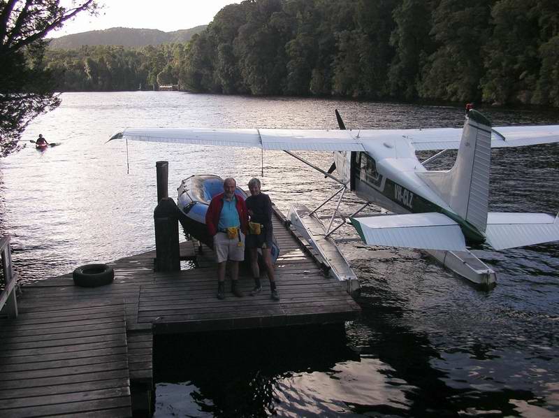
and finally landed on a small sandy beach at the hut near Sir John Falls (3 hours to here from Eagle Creek). Walked along a track to the large commercial dock where boats and the sea planes tie up, and then the short walk into the falls. Tanin water foaming over falls.
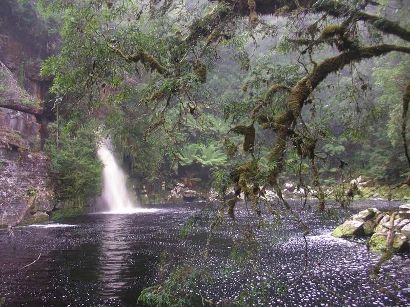
Sir John Falls.
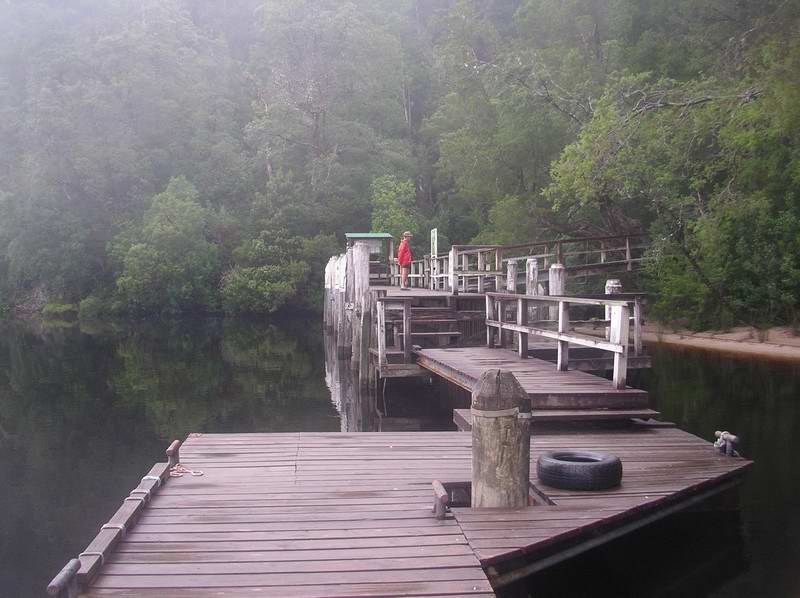
and the docks for river craft and sea planes.
On the way back down the river (we decided we didn't really want to go further to the junction of the Franklin), just past Butler Island one of the sea planes landed right alongside us.
Heading back down the river,
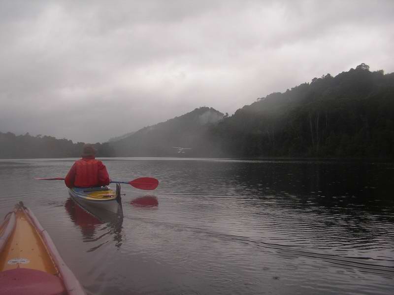
and the plane coming in to land/water?
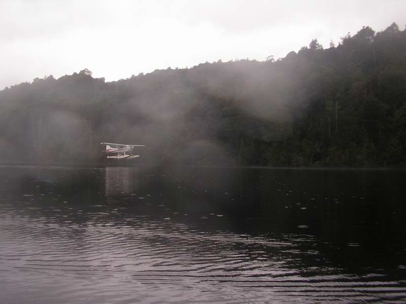
The river near the Sir John Falls was still very misty and obviously not clear enough for a landing. So they had about a 1.8km long taxi back to the falls. It was only two and a half hours back to Eagle Creek where we stopped to repair Elli's footrest which had a pop rivet shear off - we had to heat a tent peg on the fuel stove to melt a hole in the plastic to enable a long self tapper screw to replace the rivet.
The stuff that makes rain forests.
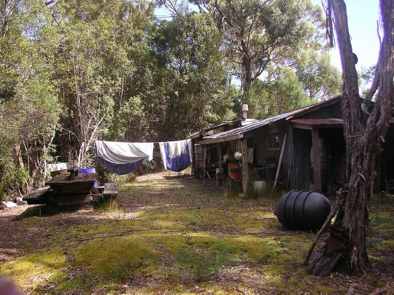
Another hour to Piners Boom Hut with fishing boats alongside pier. Lots of rain. Pulled kayaks up and went to ask if we could camp, and were offered the focsle of the large fishing boat if we wished. But they were planning to leave by 8 in the morning, so we put up our tent near where we landed. Changed into dry clothes and talked to the owner of the fishing boat. Tony once lived at The Corner on Cape Barren Island. Invited us in for cup of tea. 6 blokes asleep in bunks – friends from Perth on fishing trip. Catching trout. Tony is involved in a plan for Cape Barren Island to get their own supply ship.
Tony also told us that the Hydro had had to take salt water from outside the heads of Macquarie Harbour up to Lake Fidler to restore the natural balance there - now that the Gordon River is damned at Strathgordon and no longer floods the small lake. Apparently the Gordon River is fresh water on top, and salt below - up to Eagle Creek.
We were very kindly invited to share their meal, Corned beef, potatoes and vegs, apricots and chocolate. Good talk. Men drinking lots of wine. After tea Elli read her book in tent since she decided they didn’t need any woman around for more than a meal. Unexpected evening. A two master yacht (Stormbreaker) went up river after dark. This vessel takes tourists for an overnight experience on the river, and also picks up rafters at Sir John Falls, after doing the Franklin - something like $180 per rafter to take them back to Strahan.
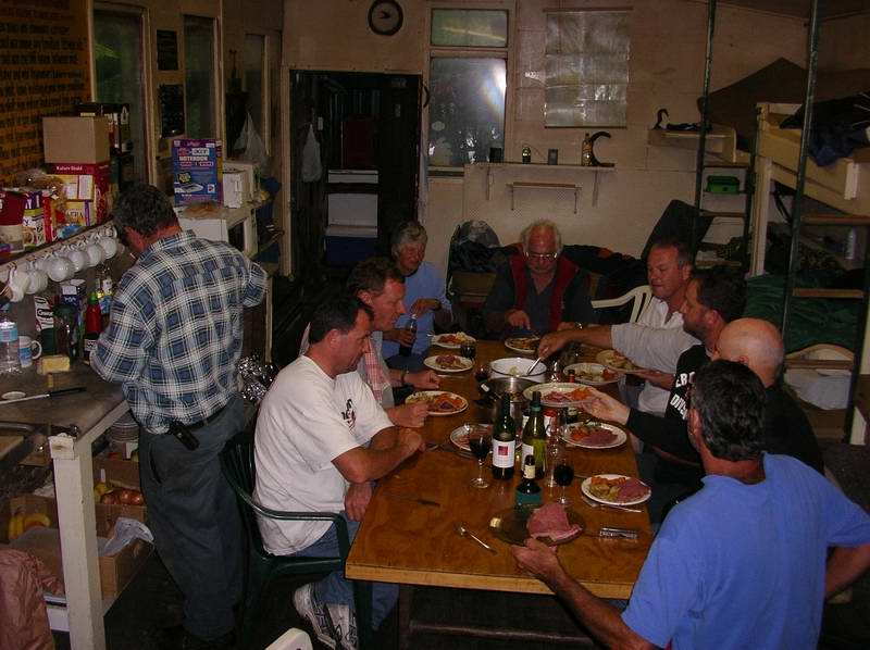
Meal in Piners hut with the fishermen,
and their boats leaving the river next morning.
Sun, Feb 26 mist, then blue, 28km
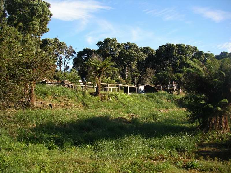
The men were packing up early putting gear into the two mast fishing boat which then was towing two other boats. National Parks outhouse on hill above shack (far better than the one at the hut at Sir John Falls - this was so disgusting we chose to use the bush instead). Boom camp (Piners Landing) was where piners put boom across river to capture huon pine logs. There was a blacksmith shack to shoe the horses the piners used to haul trees to river. Elli and I were on the river at 7:20 – one hour to mouth, placid, misty. Macquarie Harbor like millpond. To Kelly’s Basin to see railcar and bakery ruins in undergrowth, and then campers hut with old dock ruins across where town of Pillinger once was.
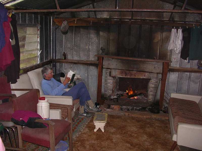
Continued to Braddon River. Perfect. Old metal shed/shack. Sand beach. Elli sat and finished her book there and soaked up sun. I hung the tent and gear out to dry. Armchairs by the fire, drank our Port. Their mattresses on floor in front of fire which I kept going most of the night.
Views around Braddon River.
Mon, Feb 27 blue
Calm, very slight head wind. Talked to two kayakers who were just packing up, camped in behind Sophia Point - about half way back to Strahan. Nice campsite area tucked in behind the curved, wooded point. 4 hours back to Strahan from Braddon River, then paddled around in harbor, watched plane land, fish farms boat come in, talked to owner of Stormbreaker which was back from its trip up the river. Landed back at the beach and shelter shed at 12:30.
Great trip! Except no sailing the whole time!
We then went on a seaplane ride to see the whole area, landing at Sir John Falls , 5:00-7:00 pm.
 Views
of the Gordon River from our flight.
Views
of the Gordon River from our flight.
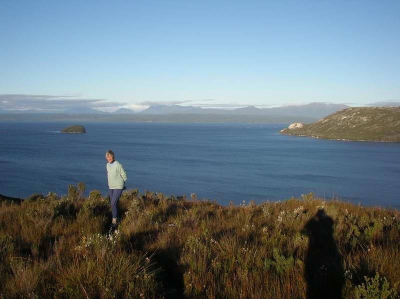
Lake Winnipesaukee and Macquarie Harbor
(by Elli)
The size of Macquarie Harbour and the
views of surrounding
mountains reminded me so much of my home paddling playground! Lake
Winnipesaukee
is the largest body of water in the Lakes Region of New Hampshire. It
is
called "the big lake" by the locals. It has many deep bays and long
arms
("necks"). The center section ("the broads") can build up good sized
waves,
as at Macquarie Harbour. But Lake Winnipesaukee is an easy two hour
drive
from the large city of Boston and the shore is totally lined with
shacks
("camps", "cottages") and there are apparently 36,000 boats on the
lake.
There is one small state park which is used for caravan camping ("no
tents
allowed") and recreation. The shoreline is rocky and the pine trees
surrounding
the cottages come right to the water's edge. Not many sand beaches. The
shoreline is within eight towns and only two of them allow water access
parking without a resident sticker. I paddle on the big lake all the
time
and prefer the busy holiday weekends when lots of boats are dashing
about
making fun waves. But for me the absolutely wonderful and amazing thing
about Tassie is the freedom from overpopulation! Oh, in winter the big
lake freezes and flocks of ice fishermen in trucks and snowmobilers are
out on the 18" thick ice.
Stormbreaker
At the end of our paddling trip Elli and I sat just off the Strahan
wharves and chatted to the skipper of the Stormbreaker. When asked what
he does in Winter in the off season he mentioned that he was a keen
kayaker
(had a couple of sea kayaks on deck), and was considering a cruise to
Queensland
- stopping off at places like Hunter Island, and the Whitsundays for a
bit of kayaking - if he could find a group of passengers interested in
this. Could be a fun experience to anchore in secluded little places on
the way. The Stormbreaker is a fairly new very
sea-worthy looking
steel two master, and the skipper talked a lot of sense (I have done a
bit of overnight ocean racing in my time so feel I am qualified to
judge).
Anyone interested might like to check out their website and give him an
expression of interest.
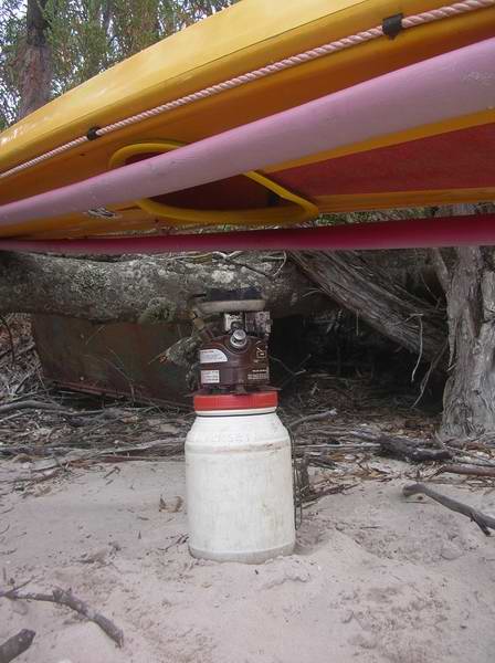
Repair kit
I seemed to be making quite a few repairs on this trip.
The following is a list of the contents of my repair kit, which I never
go paddling without.
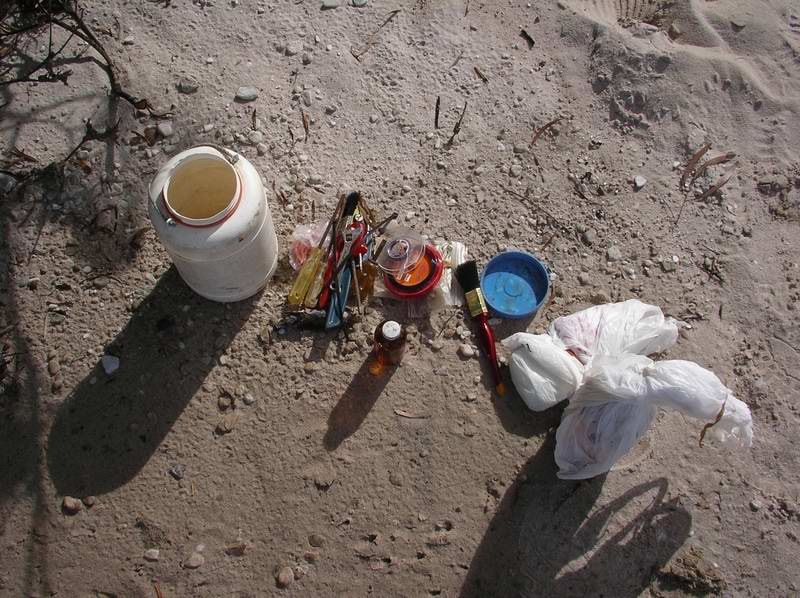 Contents
of Repair Kit.
Contents
of Repair Kit.
One litre of resin (in a fuel bottle).
Small glass bottle of hardener, with metal screwtop lid.
At least one square metre of CSM (chopped strand mat).
3 small cheap plastic brushes (throw away when used).
Small piece of very rough sandpaper.
10 metres of 180lb nylon coated wire (with sleeves).
A reel of No.4 waxed polyester whipping twine.
A metre or two of spare cord.
6 20cm plastic cable ties.
Stubby Philips screwdriver.
Stubby ordinary screwdriver.
Long Philips screwdriver.
Long ordinary screwdriver.
Round file.
Hacksaw blade (and holder).
100mm adjustable shifting spanner.
Large assortment of screws, self tappers, nuts and bolts,
(preferably stainless steel, but not necessary - only for temporary
repair).
Multi functional ‘Leatherman’ type tool.
Note:- The long screwdrivers have a hole drilled through the
top of
the handle, so that the other long screwdriver can be used as a
‘T’ bar
to assist cold wet hands gain a purchase.
The resin bottle is wrapped in a double plastic bag - and all the above
are kept in an airtight screwtop jar. Even so, the metal tools will
rust,
and they need to be taken out regularly and sprayed with WD40 or
similar.
If any whiff of resin gets into your bulkhead where you food is - the
smell will get into your food through plastic bags, and will be
un-eatable.
I always keep my food in the front bulkhead, and my repair kit in the
rear
bulkhead - just in case.