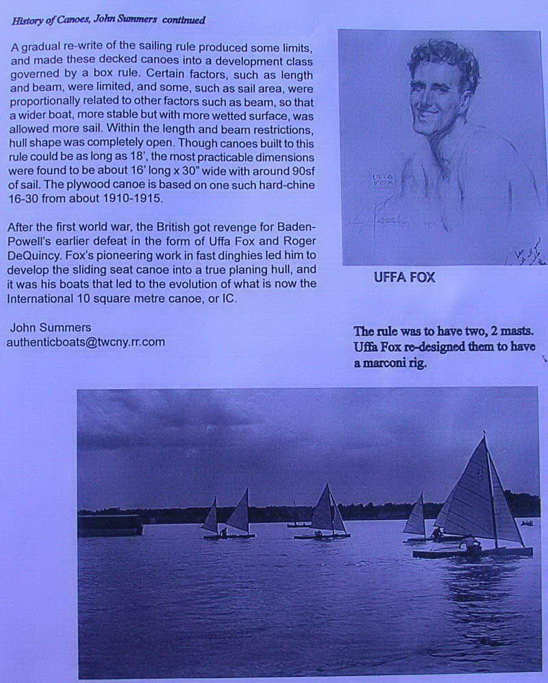
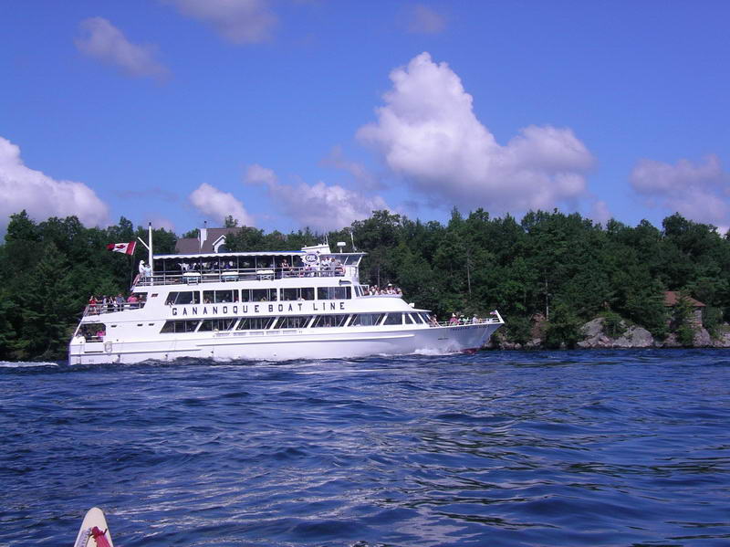
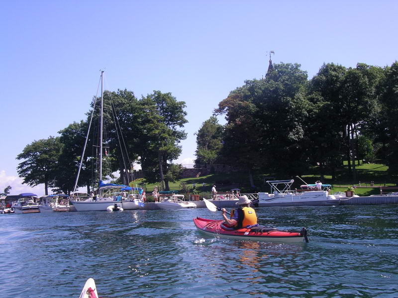
The above page is from 'Canoe Sailor', Spring 2007 - put out by the American Canoe Association (ACA). And this basically explains why I (a sea kayaker) was so far from salt water. When I was teenager I had read all the 'Swallows & Amazons' books, built myself a sailing dinghy - and read nearly every book that Uffa Fox had published. Uffa Fox was a Britsh yacht designer, and excellent sailor - in my opinion the best yacht designer this world has seen. In one of his books he described a sailing canoe challenge where he and a mate came to America and raced against the Americans. The American rule was that you had to have two spars, whereas the British sailing canoes only had one. So he designed a new kayak and had the second 'mast' from the bow of the kayak to the top of the mast, and ran his jib up this. As you can see from the photo there are a couple of two masted kayaks (the Americans), and a couple of seemingly single masted kayaks (the British). The British won every race.
These were 'decked' canoes, which are a little bit like other sailing dinghys, but there is still open canoe racing, and they still have a 'cruising' class which is the open type canoe, but no rudder or centreboard.
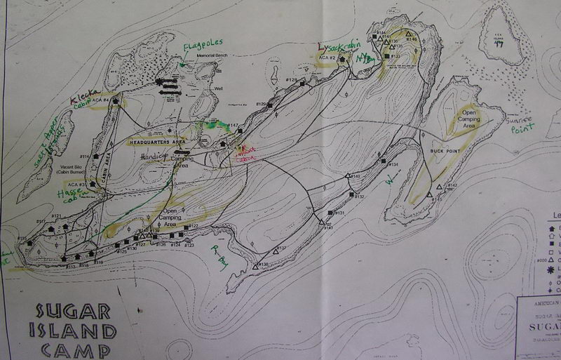
It was only recently that I was re-reading this book in Tasmania that I realised where-abouts in America these races had taken place - from Sugar Island in the Thousand Islands, where the St Lawrence River flows out of Lake Ontario. Sugar Island is owned by the ACA (but actually is in Canadian waters). So Elli and I wanted to go there to see the place. We camped on Sugar Island for two nights, circumnavigating Grindstone Island one day, and Wellesley Island another day. We were in and out of Canadian waters but were never asked for our passports, which we carried just in case. It was about an 8 or 9 hour drive to get there from New Hampshire, and we camped in the Wellesley Island State Park that night. Then out to Sugar Island and set up camp, then paddled north to Gordon Island (Canadian National Park) and along the shore to Mulcaster Island, another Canadian National Park. We returned along the bottom side of Downie and Stave Islands. The next day was round Grindstone Island, left at 7.00am and back by 12.30pm, which included sitting out a huge thunderstorm for three quarters of an hour. There are hundreds of open boat sheds along the shoreline, and we shelted under a roofed-in dock.
We used a 'pocket' map (The 1000 Islands) from the Ship gift shop in Alexandria Bay, but it would be a lot easier to navigate with a chart that showed all the navigation lights, none of which were on our map, nor half the small islands either. However this was to be a once only trip, so the expense of a chart wasn't justified.
The next day we packed up and took all our gear to circumnavigate Wellesley Island, hoping to see some shipping traversing the very narrow water way between the island and American mainland. We also were going to see Boldt Castle, and paddle through the two narrow passages back to the car. This took us past the American and Canadian border crossings either side of the International Rift - an extremely narrow passage between Hill Island and Wellesley Islands.
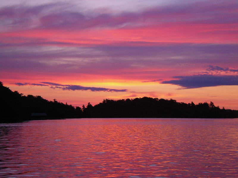
Apart from the one thunderstorm the weather was warm, overcast a bit now and then but basically brilliant weather, as you will see from the photos.
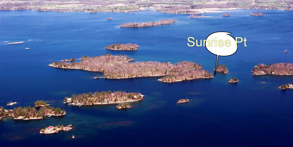
We camped right out on Sunrise Point.
The island has about a dozen cabins that can be booked by members of the ACA, and about a dozen tent platforms, plus a lot of open camping sites. Elli had joined the ACA specially for this trip. On arrival a couple (who had just gotten engaged on Sunrise Point, but were camped elsewhere) suggested this site - it was a beauty.
This trip I had tried to find a biscuit similar to the Australian SAO's. The nearest thing I've found so far were original hardtack biscuits as used during the Civil War. The only thing I can say about these is that if they were used by the Confederates, then it's no wonder they lost the war. You could tile your floor with these. Available from Bent's Cookie Factory.
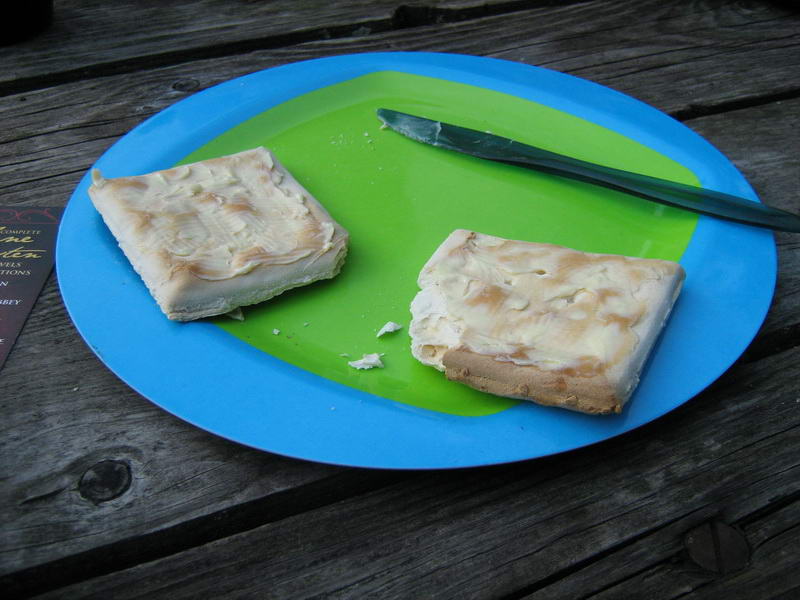
You could break your teeth on these.

Wellesley Island State Park - big park, several
launching spots.
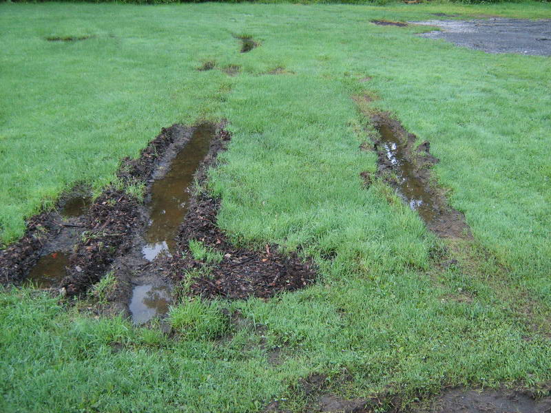
Some of the camp spots were a bit damp due to heavy
rain for
days.
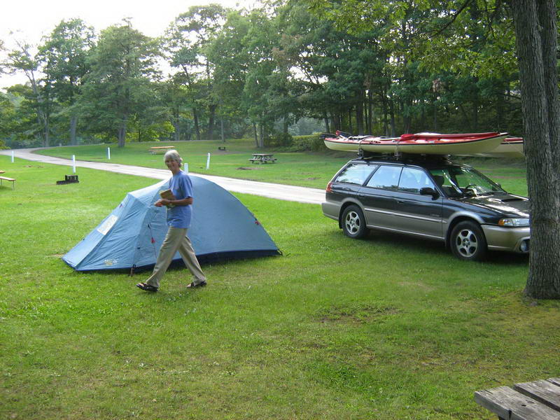
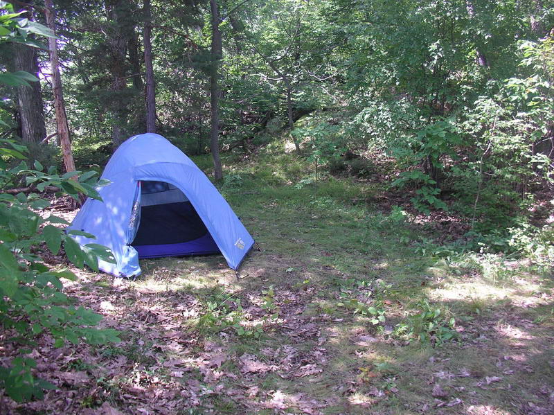
But we found a good dry one.
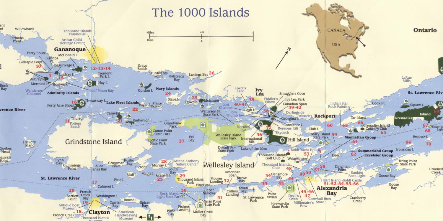
The blue dotted line is the shipping channel, the
black dotted
line the border between Canada and America. Sugar Island above the
right-hand
end of Grindstone Island.

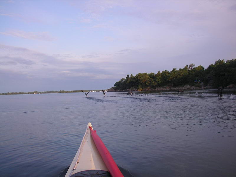
Lots of Ospreys everywhere.
Canoe Point State Park - you can only get there by
boat.
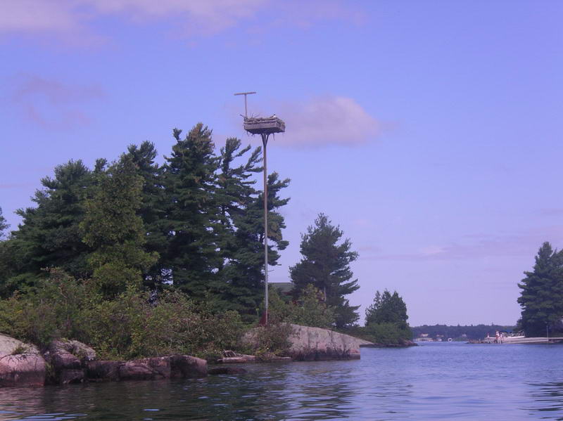
There were many of these artificial nesting boxes for
Ospreys.
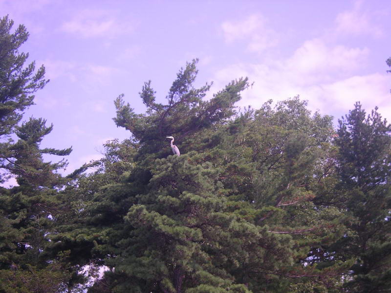
Also many Great Blue Herons about the islands.
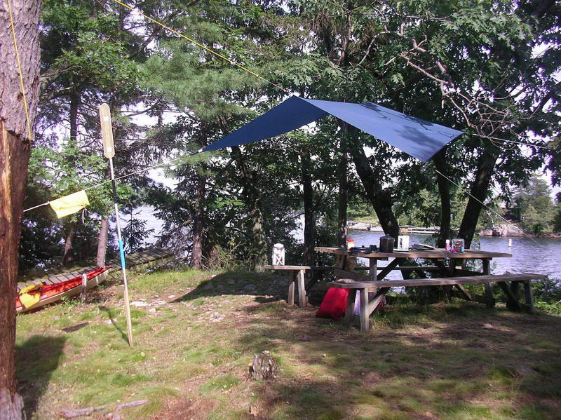
Headquarters Bay on Sugar Island.
Our site on Sunrise Point.
Sunrise Point.
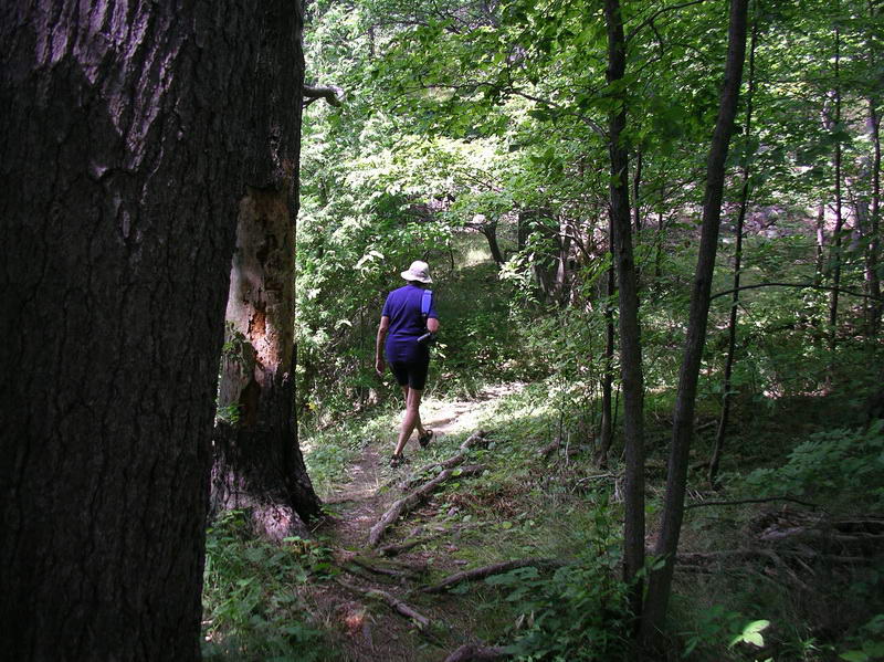
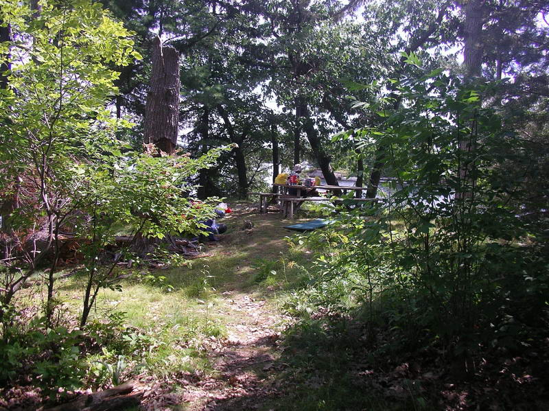
Many natural paths cross the island.

The communal meeting area at Headquarters Bay.
Some of the tent platforms.
Tent platform.

Many of these where needed.
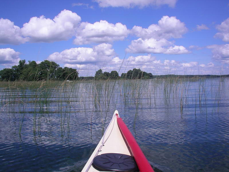
It was not easy at first to navigate through the
islands - many
were not on our map, and from a short distance they all blended in and
looked like one island.
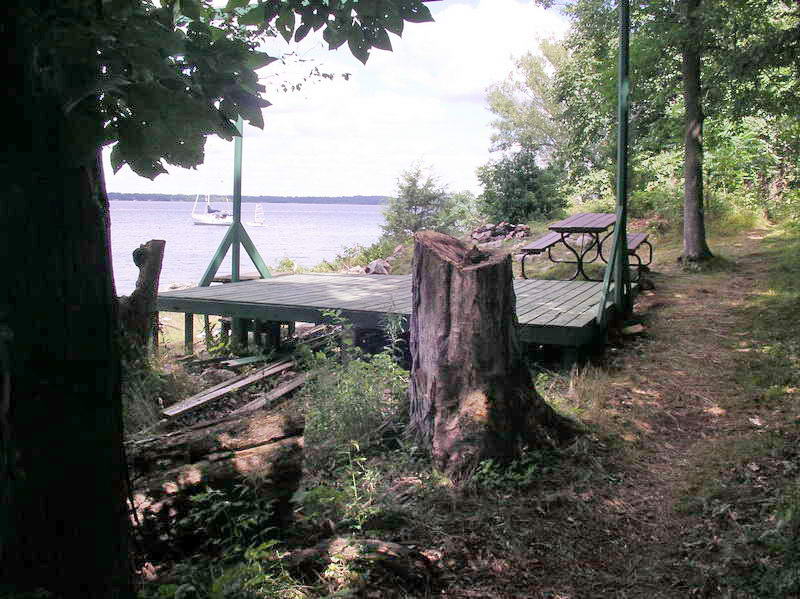
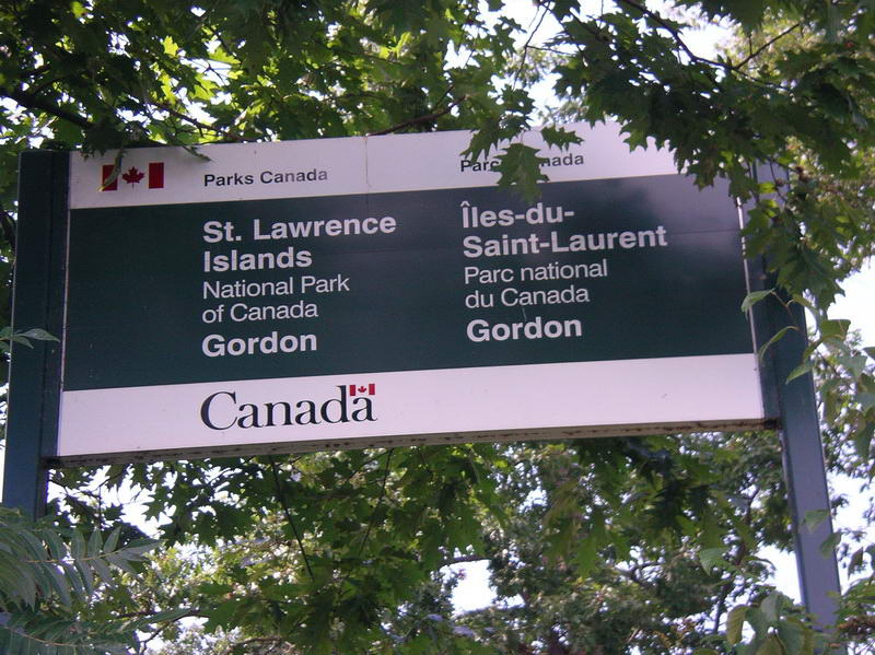
The Canadian National Parks were the ONLY islands
that were named,
and these stood out from a mile away. Gordon Island.
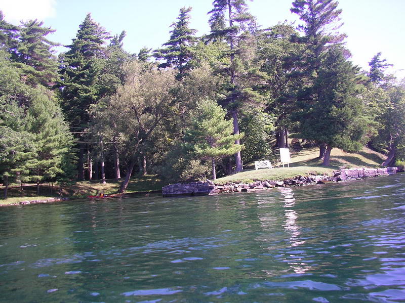
Acres of grassy area along the Canadian shoreline.
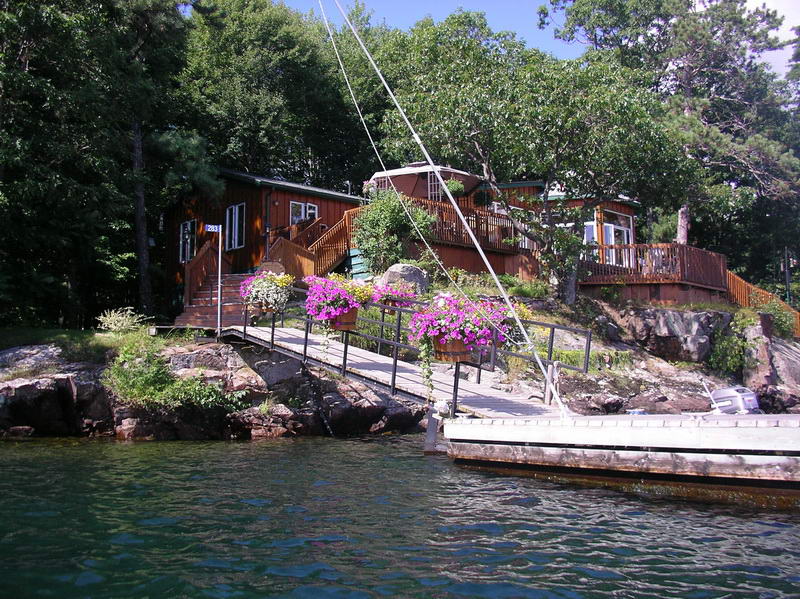
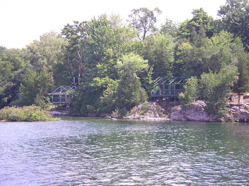
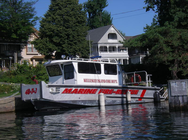
Every house has its own floating or fixed dock, some
with huge
boatsheds, and quite often with flower boxes.
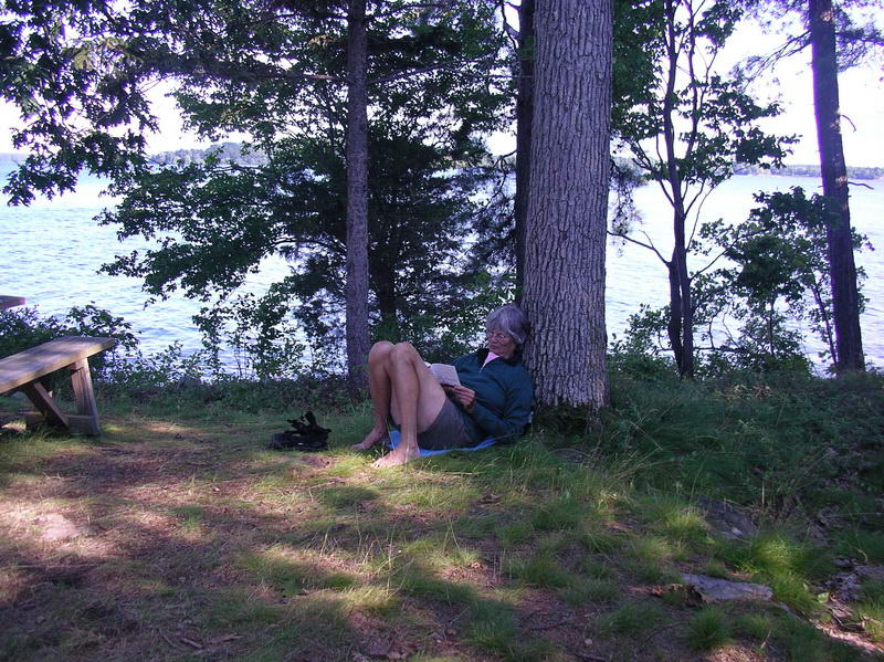
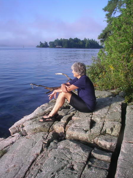
Elli relaxing at Sunrise Point.
13 paddlers from the Chesapeake area turned up one
evening. We
saw them again a couple of days later as we passed each other in the
narrow
part of the St Lawrence River.
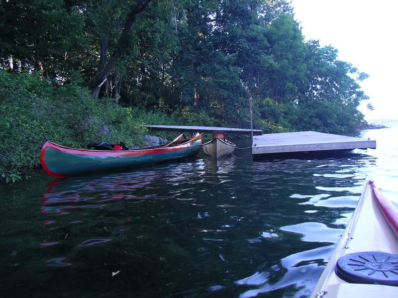
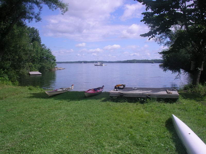
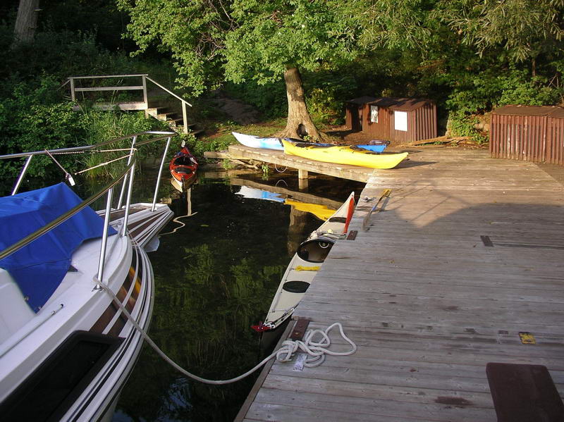
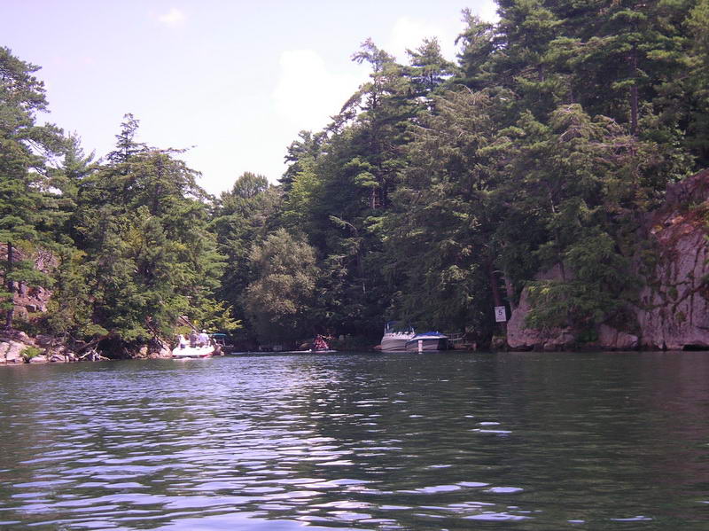
Several canoes were around Sugar Island.
From Sunrise Point of course.
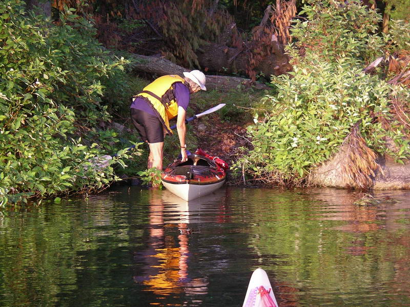
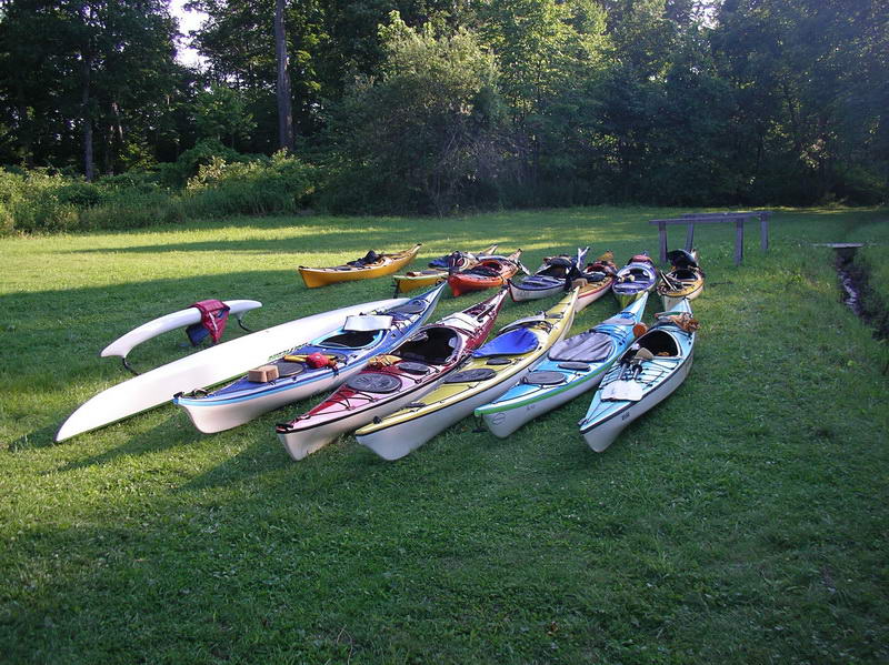
Our launching area.
Canada geese were everywhere.
We landed on Camelot Is (Canadian NP) to use their
facilities.

The NP's were very popular.
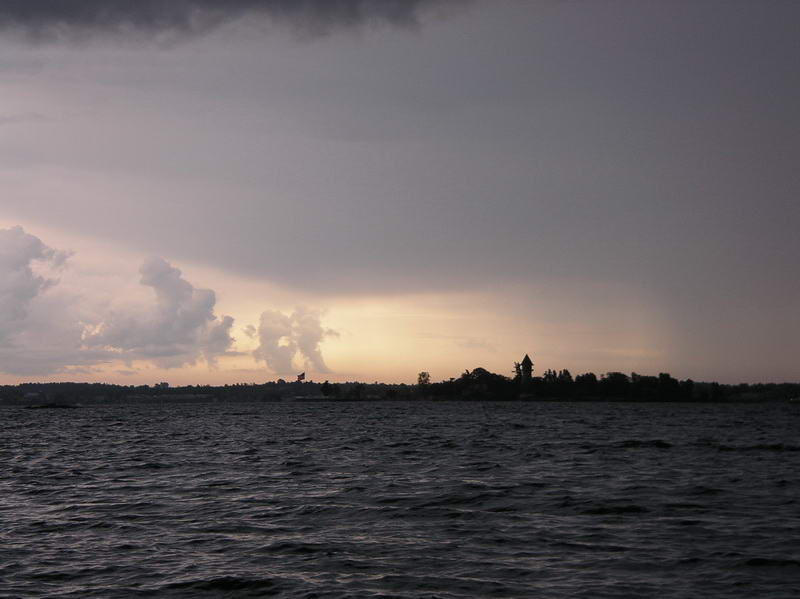
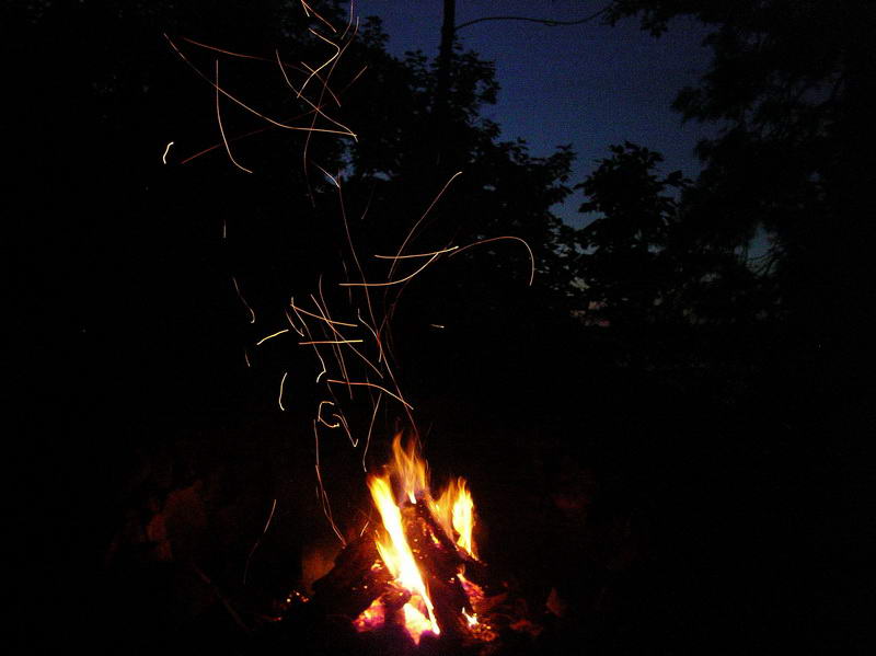
An approaching thunder storm, and severe wind and
rain.
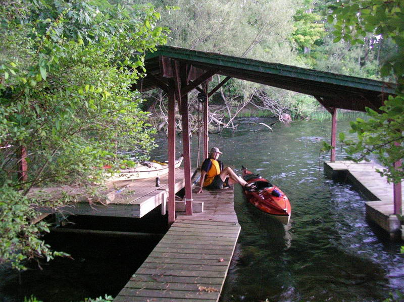
Sheltering under a handy dock.
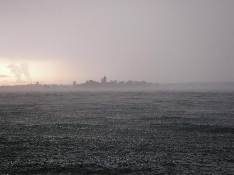
The lightning was fairly close, almost no delay
between the flash
and the thunder.
An original sailing canoe. We are informed there is
probably
one in every boatshed on the Canadian shore.

Nearly every house appeared to have a small pump
house for taking
water straight out of the river.
Back at Sugar Island. In view of the chance of more
storms we
put the tent fly up - unecessarily as it turned out.
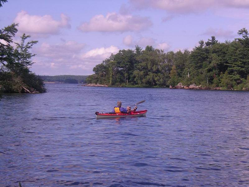
So Elli went off to look at more nearby islands.
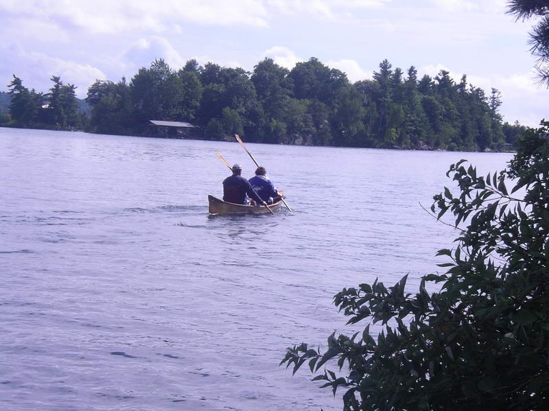
And other paddlers went round Sugar Island.
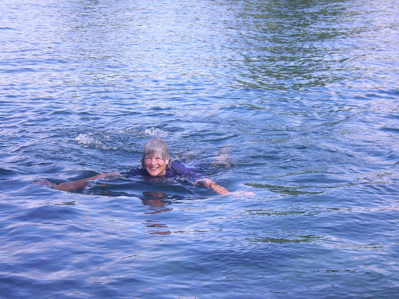
Great day for a swim.
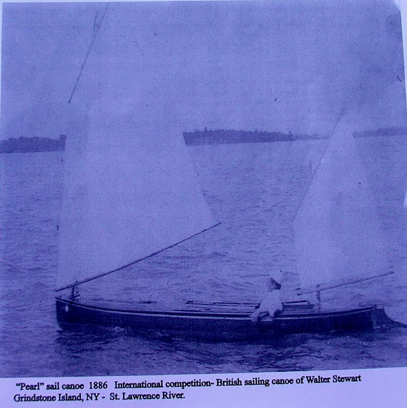
A very early sailing canoe (from the ACA magazine).
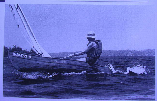
And another one - probably a bit more current.

Sunrise Point. The small island just offshore had an
Osprey nest,
and we watched the adults bring fish back to the nest.
Sunrise Point.
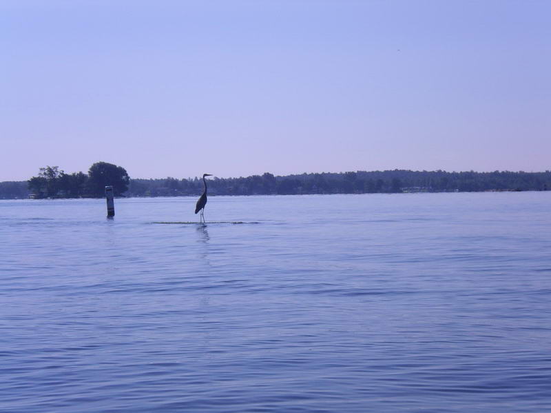
Great blue heron.

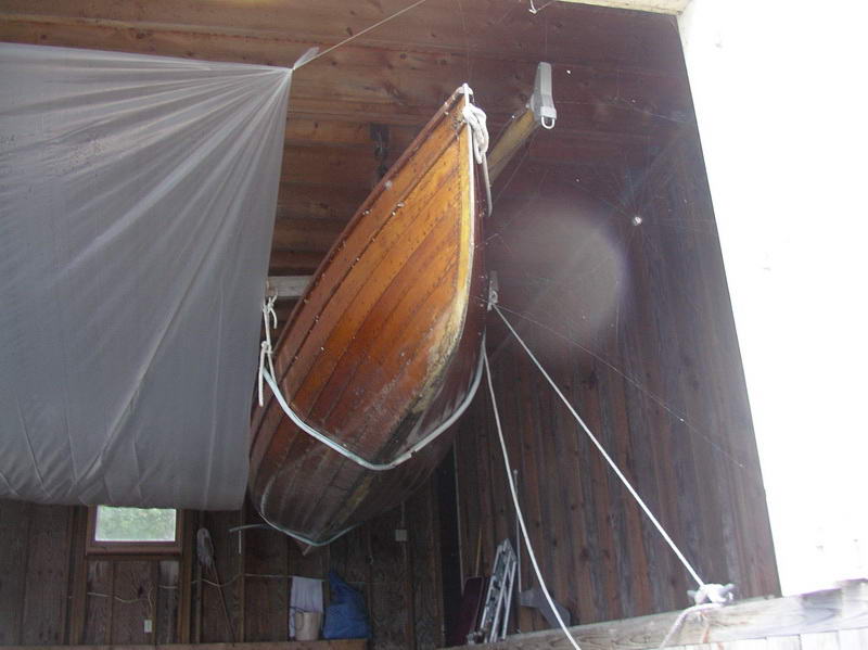
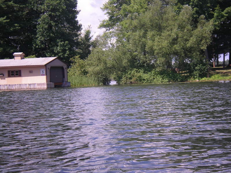
Wouldn't like to keep my kayak in this boatshed, let
alone an
expensive boat.

Main shipping buoy.
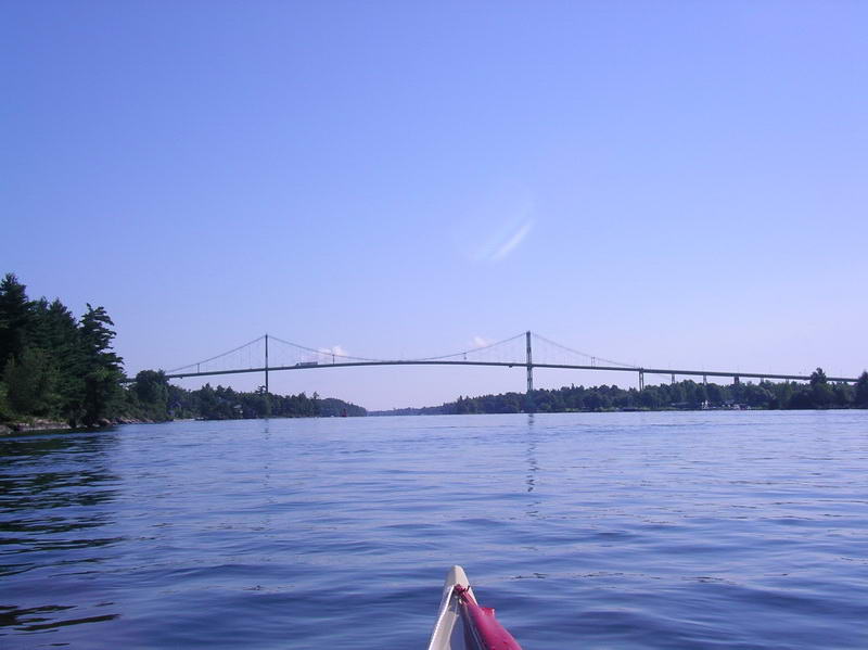
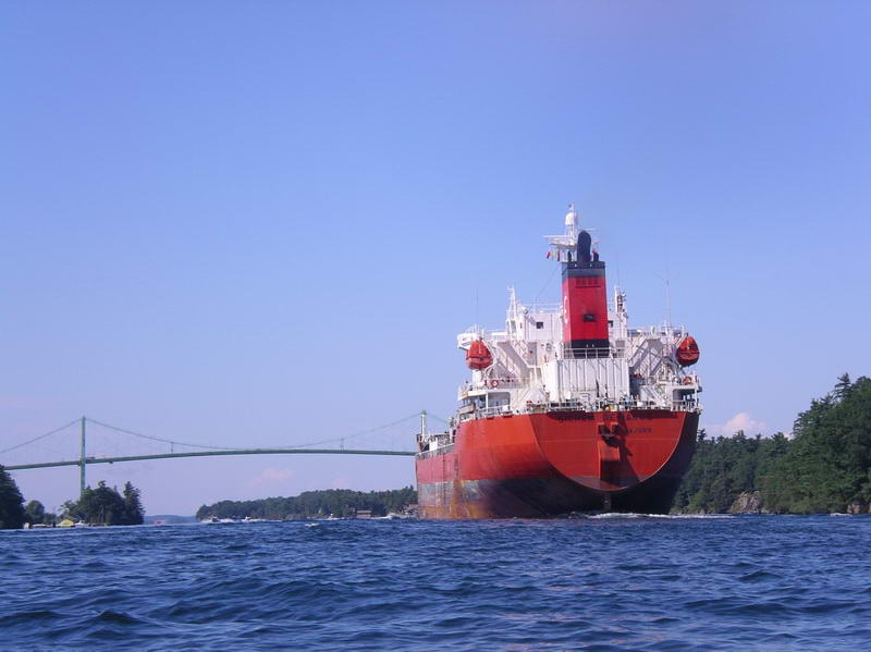
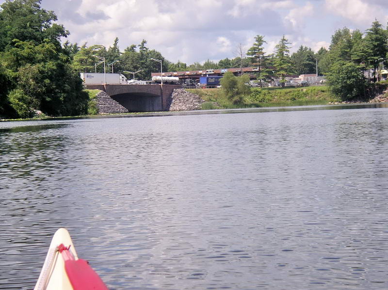
The bridge over the St Lawrence river, to Wellesley
Island on
the left.
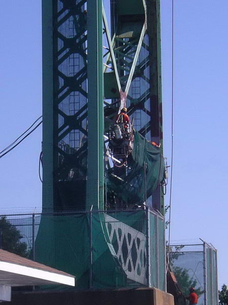
Chipping the rust off for repainting.
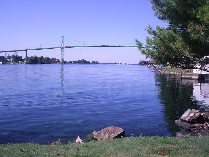
The eastern side of the bridge from our 'rest' spot.
This block was for sale so we checked it out in case
we were
interested, and had a short break here. Little bay to the left.
No island goes to waste.
Even if your feet might get wet.
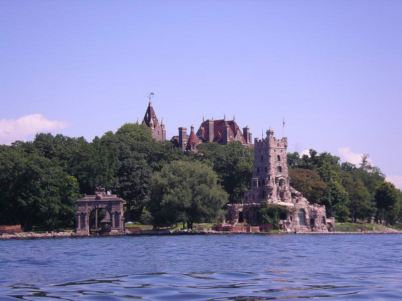
At Heart Island (Boldt Castle).
At Heart Island (Boldt Castle).
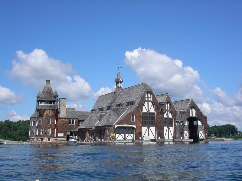
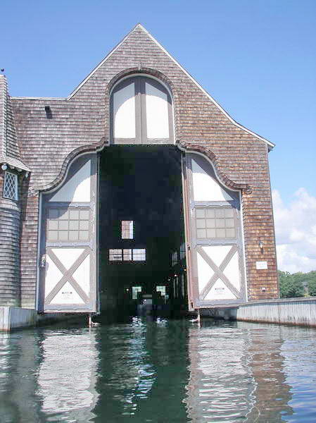
Across the channel was the boat house for the castle.
Big doors
to get yachts in.
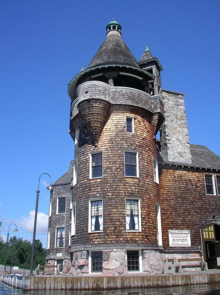
Interesting architecture.
The gap between Wellesley Island and Mary Island
State Park,
on the right.
The white dinghy is entering the narrow channel (The
International
Rift) between USA and Canada, the southern end.
The bridge between USA and Canada - the Canadian
checkpoint.
Wellesley Island on the left (USA), Hill Island on the right (Canada).
A jet ski coming out of the northern end of the
International
Rift.
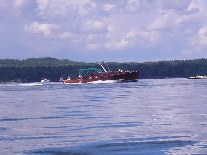
An old veteran boat.
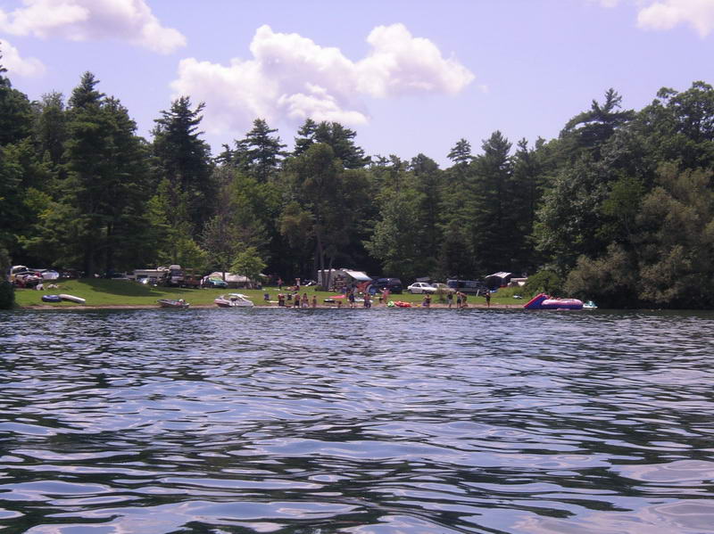
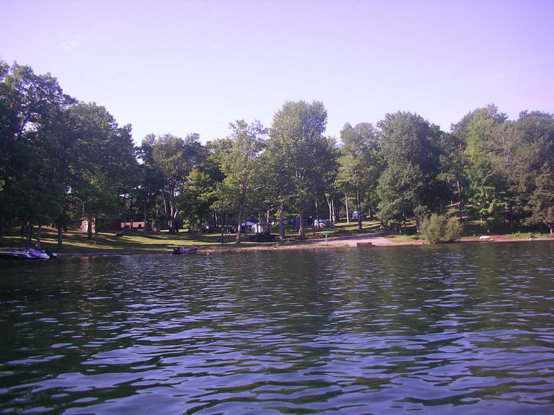
Back at Wellesley Island State Park.
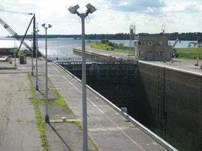
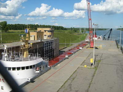
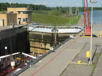
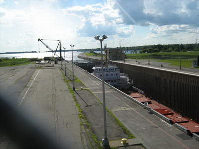
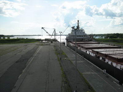
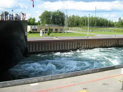
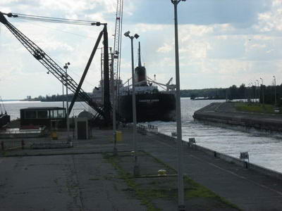
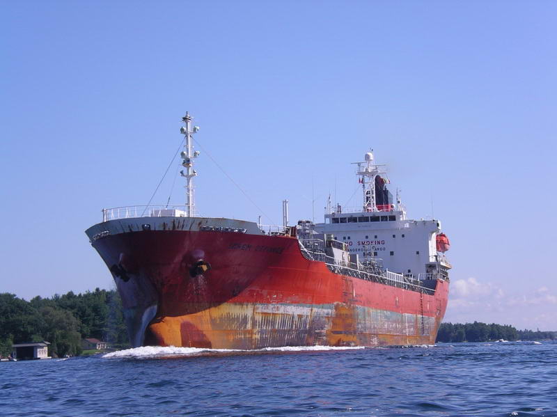
We had left Sugar Island at 8.00am to circumnavigate Wellesley Island, and were back at Wellesley State Park by 2.00pm. Loaded the car up and headed for home in Wolfeboro, via the Eisenhower Lock at Massena where we watched a big freighter coming through - about 2 feet to spare on each side. I understand there are 7 locks on the St Lawrence River. Got home about 11.00 pm.